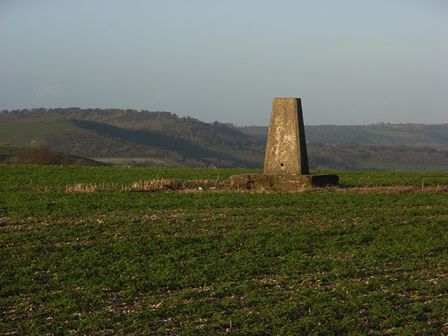
Image: Trig point, Watership Down - geograph.org.uk - 305480
Trig_point,_Watership_Down_-_geograph.org.uk_-_305480.jpg (640 × 480 pixels, file size: 130 KB, MIME type: image/jpeg)
Description: Trig point, Watership Down Just inside the flat arable farmland that abuts the gallops. This view looks across to the wooded Sidown Hill, just beyond Beacon Hill, with Ladle Hill just in shot in mid distance.
Title: Trig point, Watership Down - geograph.org.uk - 305480
Credit: From geograph.org.uk
Author: Andrew Smith
Usage Terms: Creative Commons Attribution-Share Alike 2.0
License: CC BY-SA 2.0
License Link: https://creativecommons.org/licenses/by-sa/2.0
Attribution Required?: Yes
Image usage
The following 2 pages link to this image:

All content from Kiddle encyclopedia articles (including the article images and facts) can be freely used under Attribution-ShareAlike license, unless stated otherwise.

