Image: Tonto-trail

Size of this preview: 800 × 599 pixels. Other resolutions: 320 × 239 pixels | 2,288 × 1,712 pixels.
Original image (2,288 × 1,712 pixels, file size: 854 KB, MIME type: image/jpeg)
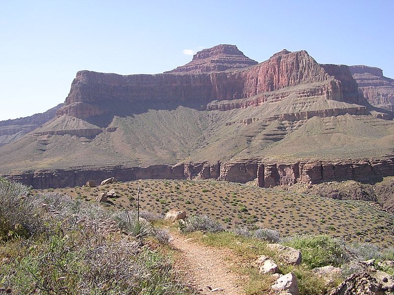
Description: Tower of Set seen from Tonto Trail, Grand Canyon National Park. Photo taken 17 April 2005. The Tower of Set is (viewed) between Salt Creek, west, and Horn Creek, east, directly north (below) Hopi Point, western South Rim, Grand Canyon. (The Tower of Set (peak) is 1.9-mi due-NW, across Granite Gorge, from the trail; Benchmark, Arizona Road & Recreation Atlas.)
Title: Tonto-trail
Credit: Transferred from en.wikipedia to Commons by Premeditated Chaos using CommonsHelper.
Author: Notary137 at English Wikipedia
Usage Terms: Public domain
License: Public domain
Attribution Required?: No
Image usage
The following page links to this image:

All content from Kiddle encyclopedia articles (including the article images and facts) can be freely used under Attribution-ShareAlike license, unless stated otherwise.
