
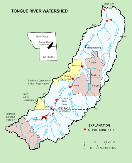
Image: Tongueriverwatershed map 2005
No higher resolution available.
Tongueriverwatershed_map_2005.gif (450 × 555 pixels, file size: 28 KB, MIME type: image/gif)
Description: Tongue River (Montana, Wyoming) Watershed Map
Title: Tongueriverwatershed map 2005
Credit: U.S. Federal government http://mt.water.usgs.gov/projects/tongueriver/
Author: United States Geological Service
Usage Terms: Public domain
License: Public domain
Attribution Required?: No
Image usage
The following page links to this image:

All content from Kiddle encyclopedia articles (including the article images and facts) can be freely used under Attribution-ShareAlike license, unless stated otherwise.