
Image: Tomichi Pass, Gunnison County, Colorado, USA
Size of this preview: 800 × 600 pixels. Other resolutions: 320 × 240 pixels | 1,760 × 1,320 pixels.
Original image (1,760 × 1,320 pixels, file size: 1.16 MB, MIME type: image/jpeg)
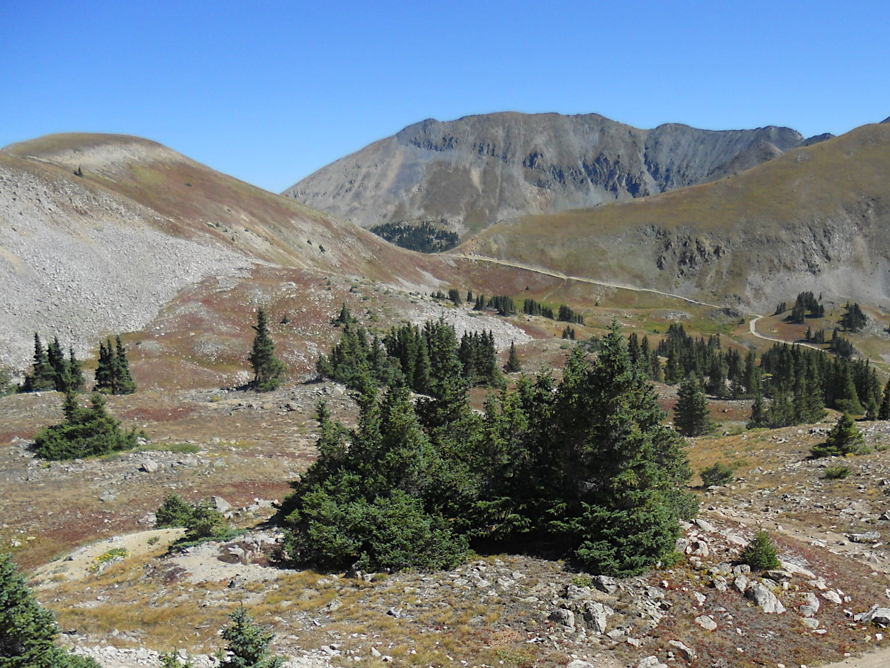
Description: Tomichi Pass, elevation 11,962 ft (3,646 m), viewed from southwest. The pass is a saddle between Paywell Mountain to the west and Central Mountain to the east. It is located in the Sawatch Range of Colorado and within the Gunnison National Forest. Forest Road 888 traverses the pass and is visible in this image.
Title: Tomichi Pass, Gunnison County, Colorado, USA
Credit: Own work
Author: John Sowell
Usage Terms: Creative Commons Attribution-Share Alike 4.0
License: CC BY-SA 4.0
License Link: https://creativecommons.org/licenses/by-sa/4.0
Attribution Required?: Yes
Image usage
The following page links to this image:

All content from Kiddle encyclopedia articles (including the article images and facts) can be freely used under Attribution-ShareAlike license, unless stated otherwise.