
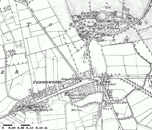
Image: Tobermore1850
No higher resolution available.
Tobermore1850.png (630 × 540 pixels, file size: 500 KB, MIME type: image/png)
Description: United Kingdom Ordnance Survey map of Tobermore from 1850
Title: Tobermore1850
Credit: PlaceNames NI Interactive Map
Author: Crown
Permission: This is an old OS Map which as an expired crown copyright may be reproduced, Ordnance Survey state however that an attribution is generally appreciated.
Usage Terms: Public domain
License: PD
Attribution Required?: No
Image usage
The following page links to this image:

All content from Kiddle encyclopedia articles (including the article images and facts) can be freely used under Attribution-ShareAlike license, unless stated otherwise.