
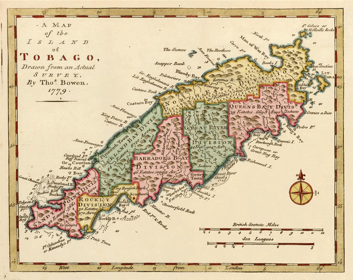
Image: Tobago subdivision 1779 BOWEN color B
Size of this preview: 757 × 599 pixels. Other resolutions: 303 × 240 pixels | 1,152 × 912 pixels.
Original image (1,152 × 912 pixels, file size: 883 KB, MIME type: image/jpeg)
Description: hand colored map of Tobago island, Trinidad and Tobago, Caribbean, with subdivision into seven "divisions" (later parishes with different names)
Title: Tobago subdivision 1779 BOWEN color B
Credit: This file was derived from: Tobago subdivision 1799 BOWEN color.jpg:
Author: Thomas Bowen derivative work: MagentaGreen
Usage Terms: Public domain
License: Public domain
Attribution Required?: No
Image usage
The following page links to this image:

All content from Kiddle encyclopedia articles (including the article images and facts) can be freely used under Attribution-ShareAlike license, unless stated otherwise.