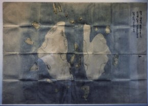
Image: The oldest maps of Liancourt Rocks
The_oldest_maps_of_Liancourt_Rocks.jpg (290 × 209 pixels, file size: 40 KB, MIME type: image/jpeg)
Description: 『松嶋絵図』(1656年頃)「松島之絵図島之惣廻リ壱里之内 隠岐国より松島江之渡海道範百里余 松島より竹島江道範三十里余」の記載がある。松嶋(現在の島根県竹島、Liancourt Rocks)最古の地図
Usage Terms: Public domain
Image usage
The following page links to this image:

All content from Kiddle encyclopedia articles (including the article images and facts) can be freely used under Attribution-ShareAlike license, unless stated otherwise.

