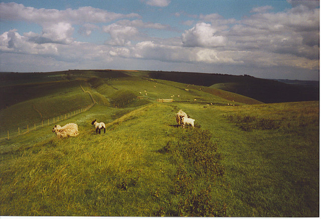
Image: The Wansdyke on Tan Hill. - geograph.org.uk - 187162
The_Wansdyke_on_Tan_Hill._-_geograph.org.uk_-_187162.jpg (640 × 437 pixels, file size: 97 KB, MIME type: image/jpeg)
Description: The Wansdyke on Tan Hill. Looking east along the Wansdyke towards Milk Hill, this section has the path following the higher rampart along the southern side of the deep ditch. The ditch here is some 30 feet deep and was intended to stop Saxon invasion from the north in the 6-7th Century.
Title: The Wansdyke on Tan Hill. - geograph.org.uk - 187162
Credit: From geograph.org.uk
Author: Colin Smith
Usage Terms: Creative Commons Attribution-Share Alike 2.0
License: CC BY-SA 2.0
License Link: https://creativecommons.org/licenses/by-sa/2.0
Attribution Required?: Yes
Image usage
The following page links to this image:

All content from Kiddle encyclopedia articles (including the article images and facts) can be freely used under Attribution-ShareAlike license, unless stated otherwise.

