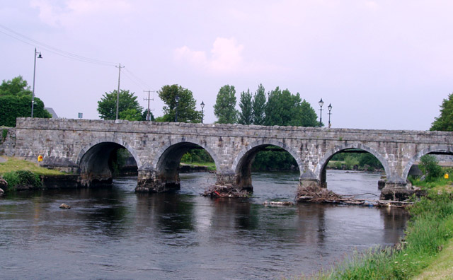
Image: The River Moy at Foxford - geograph.org.uk - 486800
The_River_Moy_at_Foxford_-_geograph.org.uk_-_486800.jpg (640 × 396 pixels, file size: 104 KB, MIME type: image/jpeg)
Description: The River Moy at Foxford Marks on the pillars of the bridge show the height of the river water before the channel was deepened 40 years ago to alleviate flooding. The water used to cover the bank and path at the bottom right of the picture
Title: The River Moy at Foxford - geograph.org.uk - 486800
Credit: From geograph.org.uk
Author: Liz McCabe
Usage Terms: Creative Commons Attribution-Share Alike 2.0
License: CC BY-SA 2.0
License Link: https://creativecommons.org/licenses/by-sa/2.0
Attribution Required?: Yes
Image usage
The following page links to this image:

All content from Kiddle encyclopedia articles (including the article images and facts) can be freely used under Attribution-ShareAlike license, unless stated otherwise.

