
Image: Texas Hill Country Map

Size of this preview: 656 × 600 pixels. Other resolutions: 263 × 240 pixels | 829 × 758 pixels.
Original image (829 × 758 pixels, file size: 15 KB, MIME type: image/png)
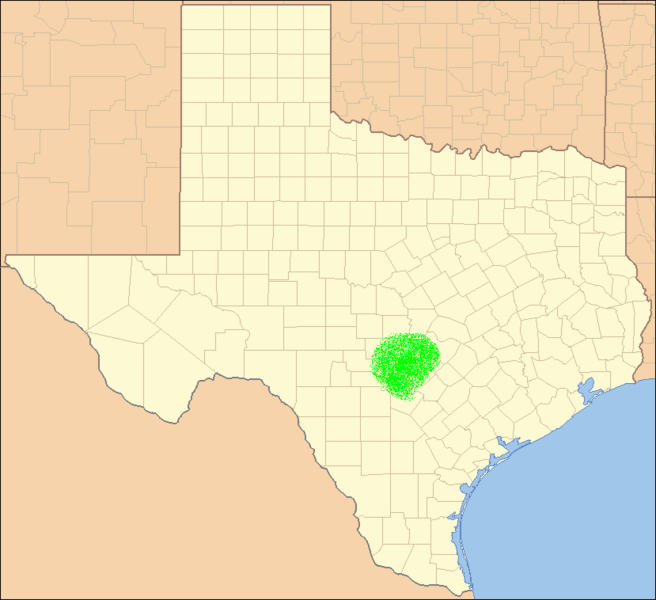
Description: Approximate Locator Map of Texas Hill Country, United States.
Title: Texas Hill Country Map
Credit: Based on Image:Texas Locator Map.PNG, and modified by Yassie. That image was originally taken from US Census and modified by Ruhrfisch.
Author: US Census, Ruhrfisch, Yassie.
Permission: US Census / US Government work is public domain, and modifications by Ruhrfisch and me are licensed under the GNU Free Documentation License.
Usage Terms: Public domain
License: Public domain
Attribution Required?: No
Image usage
The following page links to this image:

All content from Kiddle encyclopedia articles (including the article images and facts) can be freely used under Attribution-ShareAlike license, unless stated otherwise.