
Image: Sweetwater archaeological site (Nebraska) (3)
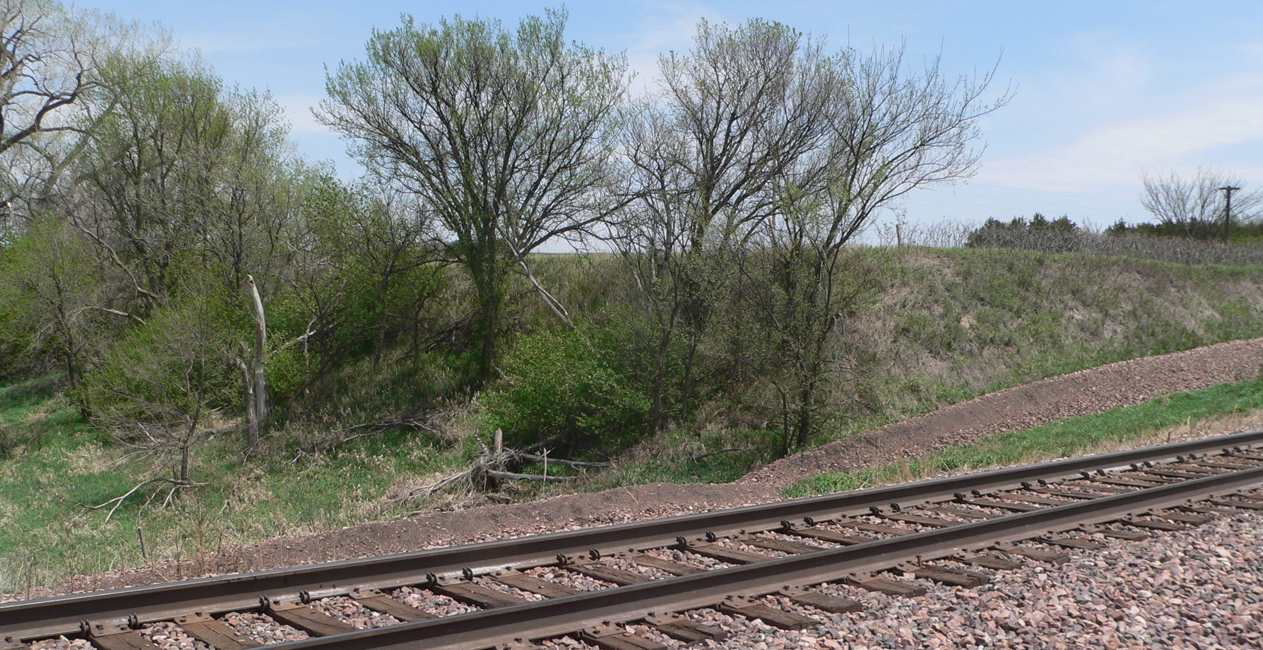
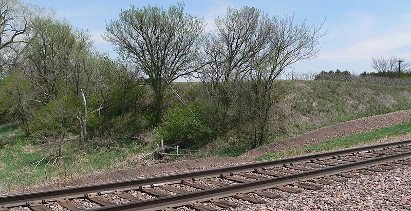
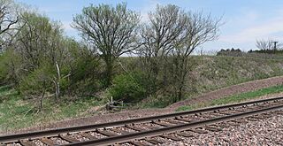
Description: Photo taken at or near Sweetwater archaeological site, on the Buffalo-Sherman county line just northwest of Sweetwater, Nebraska. Camera is facing east-northeast; the BNSF tracks in the foreground run northwest-southeast. The archaeological site is located on a level bench, defined on its west side by the tree-covered slope left of center, incised by a former channel of Muddy Creek. The bare slope right of center is the edge of a cut in which the tracks were laid.
Title: Sweetwater archaeological site (Nebraska) (3)
Credit: Own work
Author: Ammodramus
Usage Terms: Creative Commons Zero, Public Domain Dedication
License: CC0
License Link: http://creativecommons.org/publicdomain/zero/1.0/deed.en
Attribution Required?: No
Image usage
The following page links to this image:

_(3).JPG)