
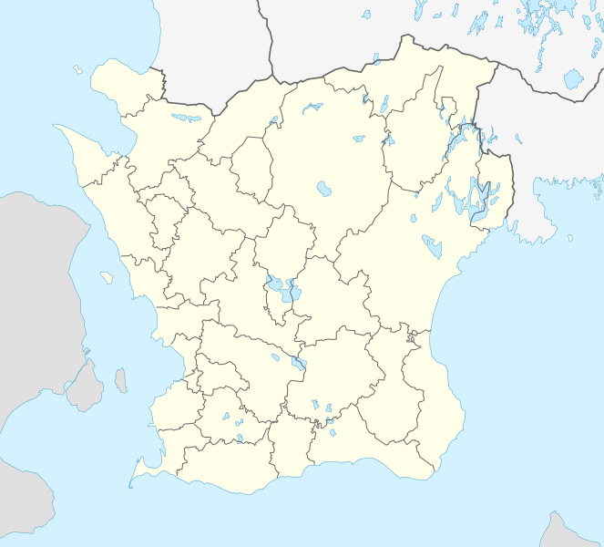
Image: Sweden Scania location map

Size of this PNG preview of this SVG file: 663 × 600 pixels. Other resolution: 265 × 240 pixels.
Original image (SVG file, nominally 2,039 × 1,845 pixels, file size: 185 KB)
Description: Location map of Scania (Skåne) in Sweden Equirectangular projection, N/S stretching 179 %. Geographic limits of the map:
N: 56° 37' N S: 55° 12' N W: 12° 12' E E: 15° 00' E
Author: Erik Frohne
Usage Terms: Creative Commons Attribution-Share Alike 3.0
License: CC-BY-SA-3.0
License Link: http://creativecommons.org/licenses/by-sa/3.0/
Attribution Required?: Yes
Image usage
The following 48 pages link to this image:
- Annelöv
- Arkelstorp
- Barsebäck
- Barsebäckshamn
- Bjärnum
- Bjärred
- Emmaljunga
- Furulund
- Genarp
- Glimåkra
- Hammenhög
- Hanaskog
- Hjärnarp
- Hörby
- Jonstorp
- Kattarp
- Kivik
- Ljunghusen
- Lomma
- Löddeköpinge
- Perstorp
- Sankt Olof
- Sjöbo
- Skanör med Falsterbo
- Skåne County
- Skånes-Fagerhult
- Staffanstorp
- Svalöv
- Svarte
- Teckomatorp
- Torekov
- Tyringe
- Tånga och Rögle
- Veberöd
- Vejbystrand
- Vittsjö
- Västra Karaby
- Västra Karup
- Västra Torup
- Yngsjö
- Ystad
- Ängelholm
- Åhus
- Åkarp
- Önnestad
- Örtofta
- Östra Karup
- Östra Ljungby

All content from Kiddle encyclopedia articles (including the article images and facts) can be freely used under Attribution-ShareAlike license, unless stated otherwise.