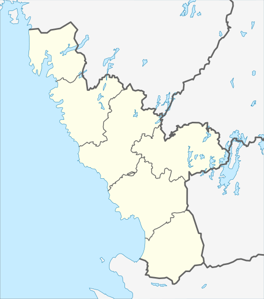
Image: Sweden Halland location map

Size of this PNG preview of this SVG file: 528 × 599 pixels. Other resolution: 212 × 240 pixels.
Original image (SVG file, nominally 856 × 971 pixels, file size: 105 KB)
Description: Location map of Halland County in Sweden. N-S stretching is 184%, geographic limits of the map: N: 57.70° N S: 56.25° N W: 11.65° E E: 14.00° E
Title: Sweden Halland location map
Credit: Own work
Author: Erik Frohne
Usage Terms: Creative Commons Attribution 3.0
License: CC BY 3.0
License Link: https://creativecommons.org/licenses/by/3.0
Attribution Required?: Yes
Image usage
The following 31 pages link to this image:
- Falkenberg
- Fjärås kyrkby
- Frillesås
- Getinge
- Halmstad
- Harplinge
- Hasslöv
- Hyltebruk
- Knäred
- Kungsbacka
- Laholm
- Laxvik
- Mellbystrand
- Onsala
- Skogstorp, Falkenberg Municipality
- Skrea
- Särö
- Tvååker
- Tylösand
- Ullared
- Unnaryd
- Vallberga
- Varberg
- Veddige
- Vessigebro
- Vinberg
- Vinbergs kyrkby
- Väröbacka
- Ätran (locality)
- Årstad
- Åsa, Kungsbacka

All content from Kiddle encyclopedia articles (including the article images and facts) can be freely used under Attribution-ShareAlike license, unless stated otherwise.
