Image: Sutton Hoo 1938 39 map

Size of this preview: 507 × 600 pixels. Other resolutions: 203 × 240 pixels | 629 × 744 pixels.
Original image (629 × 744 pixels, file size: 161 KB, MIME type: image/png)
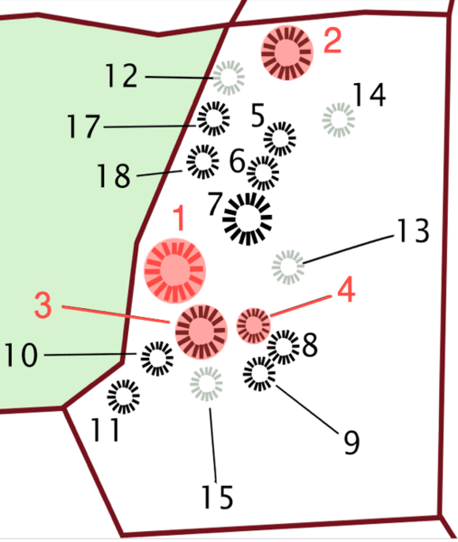
Description: English: Sutton Hoo map, modified to highlight in red the four mounds that were opened by Basil Brown between 1938-39.
Title: Sutton Hoo 1938 39 map
Credit: Own work, based on map of the Sutton Hoo burial ground created by Amitchell125 (https://commons.wikimedia.org/wiki/File:Sutton_Hoo_map.svg), showing "mound burials in black, possible mound burials in grey, woodland in green".
Author: DocDee
Permission: Creative Commons Attribution-Share Alike 3.0
Image usage
The following page links to this image:

All content from Kiddle encyclopedia articles (including the article images and facts) can be freely used under Attribution-ShareAlike license, unless stated otherwise.
