
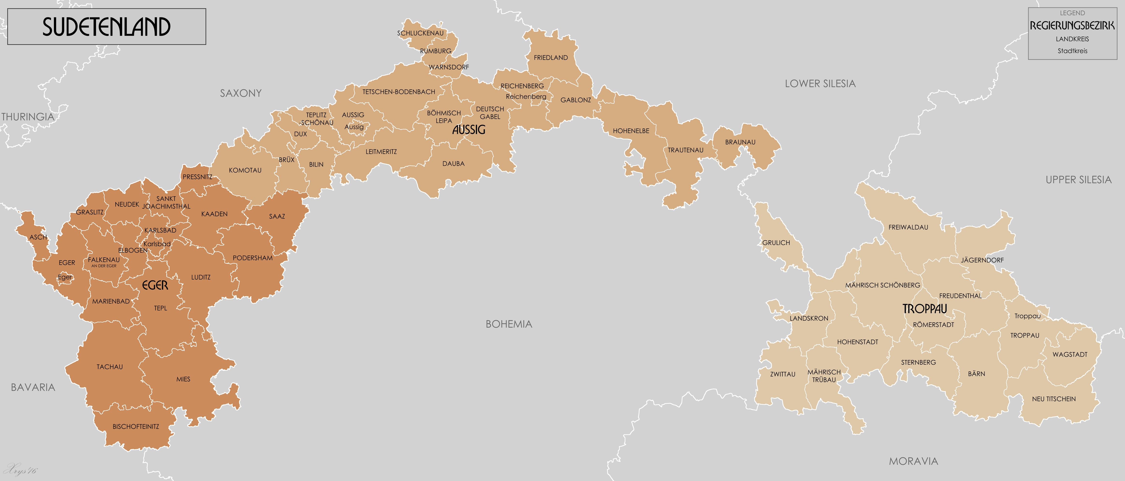
Image: Sudetenland Reichsgau 1944
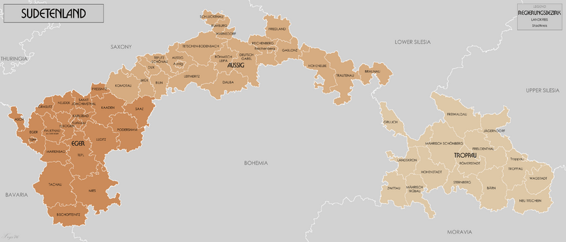
Size of this preview: 799 × 342 pixels. Other resolutions: 320 × 137 pixels | 4,653 × 1,992 pixels.
Original image (4,653 × 1,992 pixels, file size: 1.04 MB, MIME type: image/png)
Description: Administrative map of Reichsgau Sudetenland in 1944. Source GIS Data digitised from Karte des Deutschen Reiches 1:100 000 and Karte von Mitteleuropa 1:300k. Some source maps from WIG (www.mapywig.org).
Title: Sudetenland Reichsgau 1944
Credit: Own work
Author: XrysD
Usage Terms: Creative Commons Attribution-Share Alike 3.0
License: CC BY-SA 3.0
License Link: http://creativecommons.org/licenses/by-sa/3.0
Attribution Required?: Yes
Image usage
The following page links to this image:

All content from Kiddle encyclopedia articles (including the article images and facts) can be freely used under Attribution-ShareAlike license, unless stated otherwise.