
Image: StateLibQld 1 293719 Aerial view of Annerley, Brisbane, ca. 1934
Size of this preview: 800 × 599 pixels. Other resolutions: 320 × 240 pixels | 1,000 × 749 pixels.
Original image (1,000 × 749 pixels, file size: 101 KB, MIME type: image/jpeg)
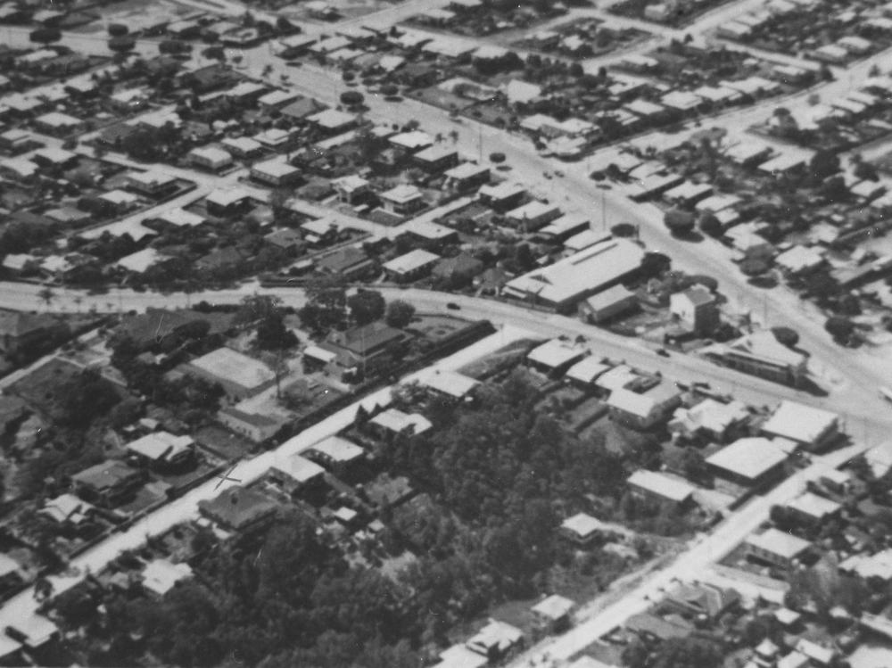
Description: Aerial view of Annerley, Brisbane, ca. 1934. Ipswich Road is in the centre from left to right with Cronin Street and Fanny Street running up to it. Junction Hotel is at the intersection. 26-28 Cronin Street is the large house with the dark roof. The house is now burnt down. (Description supplied with photograph.).
Title: StateLibQld 1 293719 Aerial view of Annerley, Brisbane, ca. 1934
Credit: Item is held by John Oxley Library, State Library of Queensland
Usage Terms: Public domain
License: Public domain
Attribution Required?: No
Image usage
The following page links to this image:

All content from Kiddle encyclopedia articles (including the article images and facts) can be freely used under Attribution-ShareAlike license, unless stated otherwise.