
Image: Star Fort Delaware CIRCA 1829 CANAL MAP
Size of this preview: 800 × 546 pixels. Other resolutions: 320 × 219 pixels | 1,280 × 874 pixels.
Original image (1,280 × 874 pixels, file size: 272 KB, MIME type: image/jpeg)
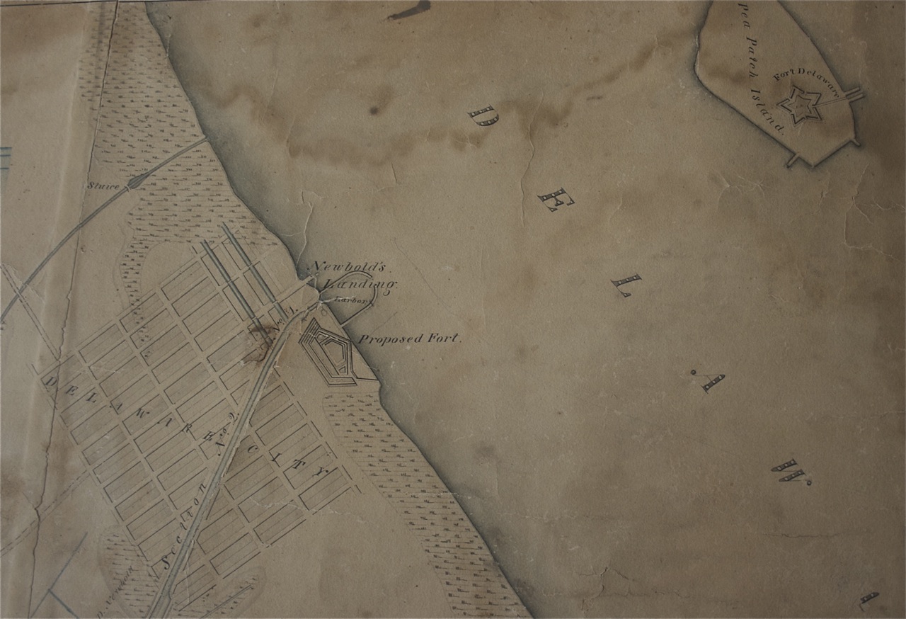
Description: Portion of an original C & D Canal Map showing the star Fort Delaware Circa 1829
Title: Star Fort Delaware CIRCA 1829 CANAL MAP
Credit: Federal Government Funds helped pay for the construction of the canal and the creation of this map.
Author: Unknown, possibly Army Corps of Engineers.
Permission: Originally in the possession of the Army Corps of Engineers; this map was restored and is on display at Fort Delaware State Park.
Usage Terms: Public domain
License: PD
Attribution Required?: No
Image usage
The following page links to this image:

All content from Kiddle encyclopedia articles (including the article images and facts) can be freely used under Attribution-ShareAlike license, unless stated otherwise.