
Image: Staffordshire UK relief location map
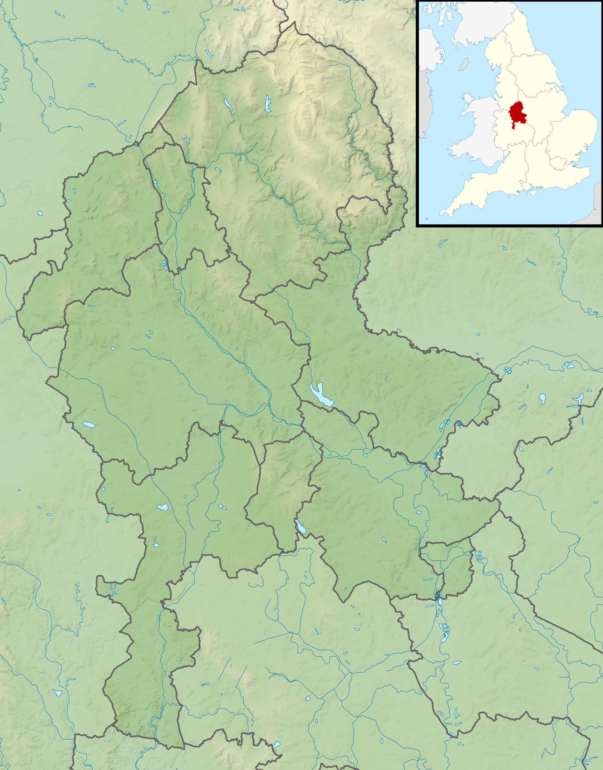
Description: Relief map of Staffordshire, UK. Equirectangular map projection on WGS 84 datum, with N/S stretched 165% Geographic limits: West: 2.50W East: 1.40W North: 53.25N South: 52.40N
Title: Staffordshire UK relief location map
Credit: Ordnance Survey OpenData. Relief data from Land-Form Panorama product. Administrative borders and coastline data from Boundary-Line product. All other geographic data from Meridian 2 product. Inset derived from England location map.svg by Spischot.
Author: Nilfanion, created using Ordnance Survey data
Permission: This file is licensed under the Creative Commons Attribution-Share Alike 3.0 Unported license. Attribution: Contains Ordnance Survey data © Crown copyright and database right You are free: to share – to copy, distribute and transmit the work to remix – to adapt the work Under the following conditions: attribution – You must attribute the work in the manner specified by the author or licensor (but not in any way that suggests that they endorse you or your use of the work). share alike – If you alter, transform, or build upon this work, you may distribute the resulting work only under the same or similar license to this one. http://creativecommons.org/licenses/by-sa/3.0 CC BY-SA 3.0 Creative Commons Attribution-Share Alike 3.0 truetrue
Usage Terms: Creative Commons Attribution-Share Alike 3.0
License: CC BY-SA 3.0
License Link: http://creativecommons.org/licenses/by-sa/3.0
Attribution Required?: Yes
Image usage
The following 23 pages link to this image:
- Aqualate Mere
- Belvide Reservoir
- Blakemere Pond
- Blithfield Reservoir
- Bourne Brook
- Chasewater
- Cheeks Hill
- Ford Green Brook
- Fowlea Brook
- Gailey Reservoirs
- Kinver Edge
- Leekfrith torcs
- Lud's Church
- Lyme Brook
- Merryton Low
- River Blithe
- River Swarbourn
- Stowe Pool
- Tamworth Castle
- Tittesworth reservoir
- Westport Lake, Stoke-on-Trent
- White Sitch
- Template:Location map United Kingdom Staffordshire
