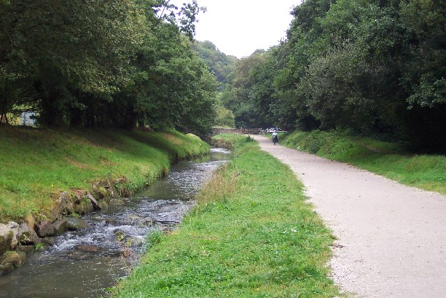
Image: St Austell River and Cycle Path - geograph.org.uk - 43637
St_Austell_River_and_Cycle_Path_-_geograph.org.uk_-_43637.jpg (640 × 427 pixels, file size: 106 KB, MIME type: image/jpeg)
Description: St Austell River and Cycle Path. The St Austell River runs south from that town to the sea at Pentewan. In 1826 a horse-worked tramway was built alongside the river as part of a plan to develop the harbour at Pentewan. The course of the tramway is now occupied by an excellent cycle path. This scene shows the river and cycle path near Nansladron.
Title: St Austell River and Cycle Path - geograph.org.uk - 43637
Credit: From geograph.org.uk
Author: Ron Strutt
Usage Terms: Creative Commons Attribution-Share Alike 2.0
License: CC BY-SA 2.0
License Link: https://creativecommons.org/licenses/by-sa/2.0
Attribution Required?: Yes
Image usage
The following page links to this image:

All content from Kiddle encyclopedia articles (including the article images and facts) can be freely used under Attribution-ShareAlike license, unless stated otherwise.

