
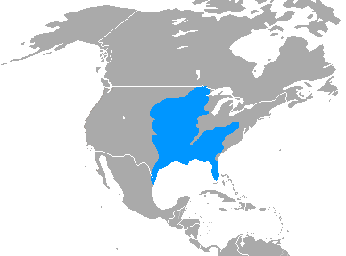
Image: Spilogale putorius range map
No higher resolution available.
Spilogale_putorius_range_map.png (388 × 287 pixels, file size: 4 KB, MIME type: image/png)
Description: Eastern Spotted Skunk (Spilogale putorius) range map, made by me with help of www.aquarius.geomar.de, Map depending on the range map at IUCN red list. Includes colonial borders.
Title: Spilogale putorius range map
Credit: Own work
Author: Udo Schröter
Usage Terms: Creative Commons Attribution-Share Alike 3.0
License: CC BY-SA 3.0
License Link: https://creativecommons.org/licenses/by-sa/3.0
Attribution Required?: Yes
Image usage
The following page links to this image:

All content from Kiddle encyclopedia articles (including the article images and facts) can be freely used under Attribution-ShareAlike license, unless stated otherwise.