
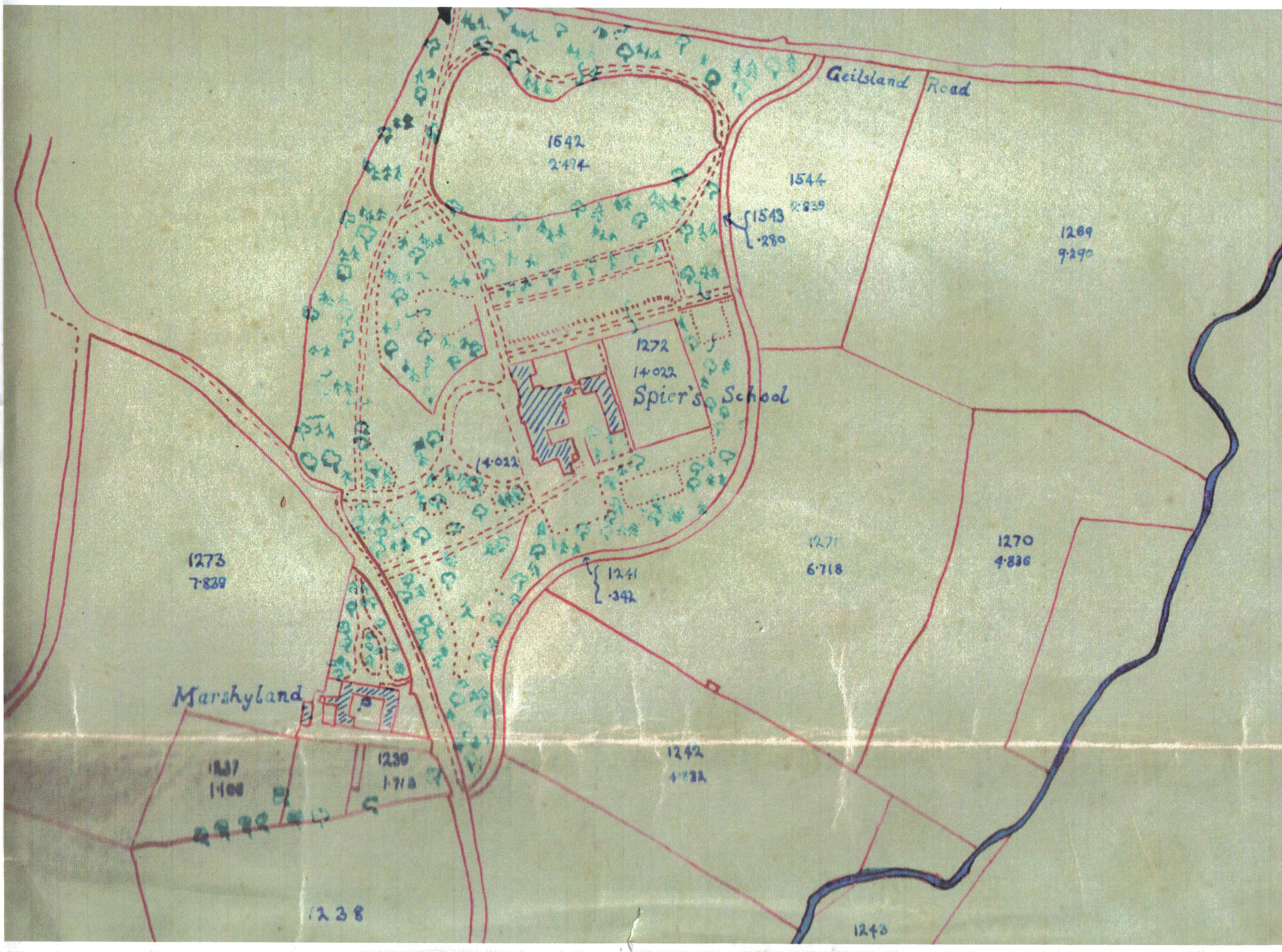
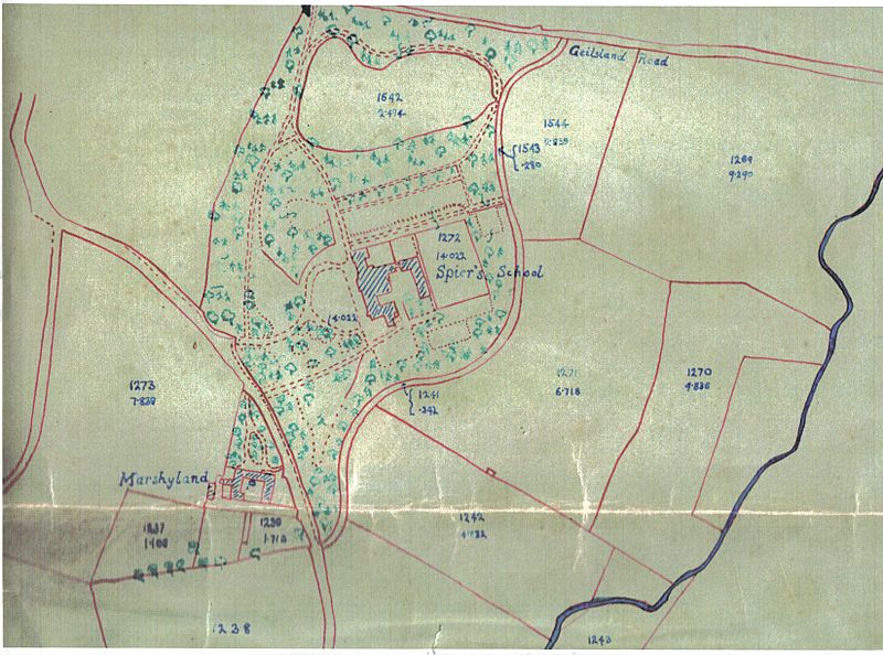
Image: Spier's School Map - 1888
Size of this preview: 800 × 594 pixels. Other resolutions: 320 × 238 pixels | 3,296 × 2,448 pixels.
Original image (3,296 × 2,448 pixels, file size: 1.8 MB, MIME type: image/jpeg)
Description: A map of Spier's School and area as they were in 1888
Title: Spier's School Map - 1888
Credit: Own work
Author: Rosser1954 Roger Griffith
Usage Terms: Public domain
License: Public domain
Attribution Required?: No
Image usage
The following 2 pages link to this image:

All content from Kiddle encyclopedia articles (including the article images and facts) can be freely used under Attribution-ShareAlike license, unless stated otherwise.