
Image: Spain Castile and León relieve location map
Size of this preview: 766 × 599 pixels. Other resolutions: 307 × 240 pixels | 2,697 × 2,110 pixels.
Original image (2,697 × 2,110 pixels, file size: 5.54 MB, MIME type: image/png)
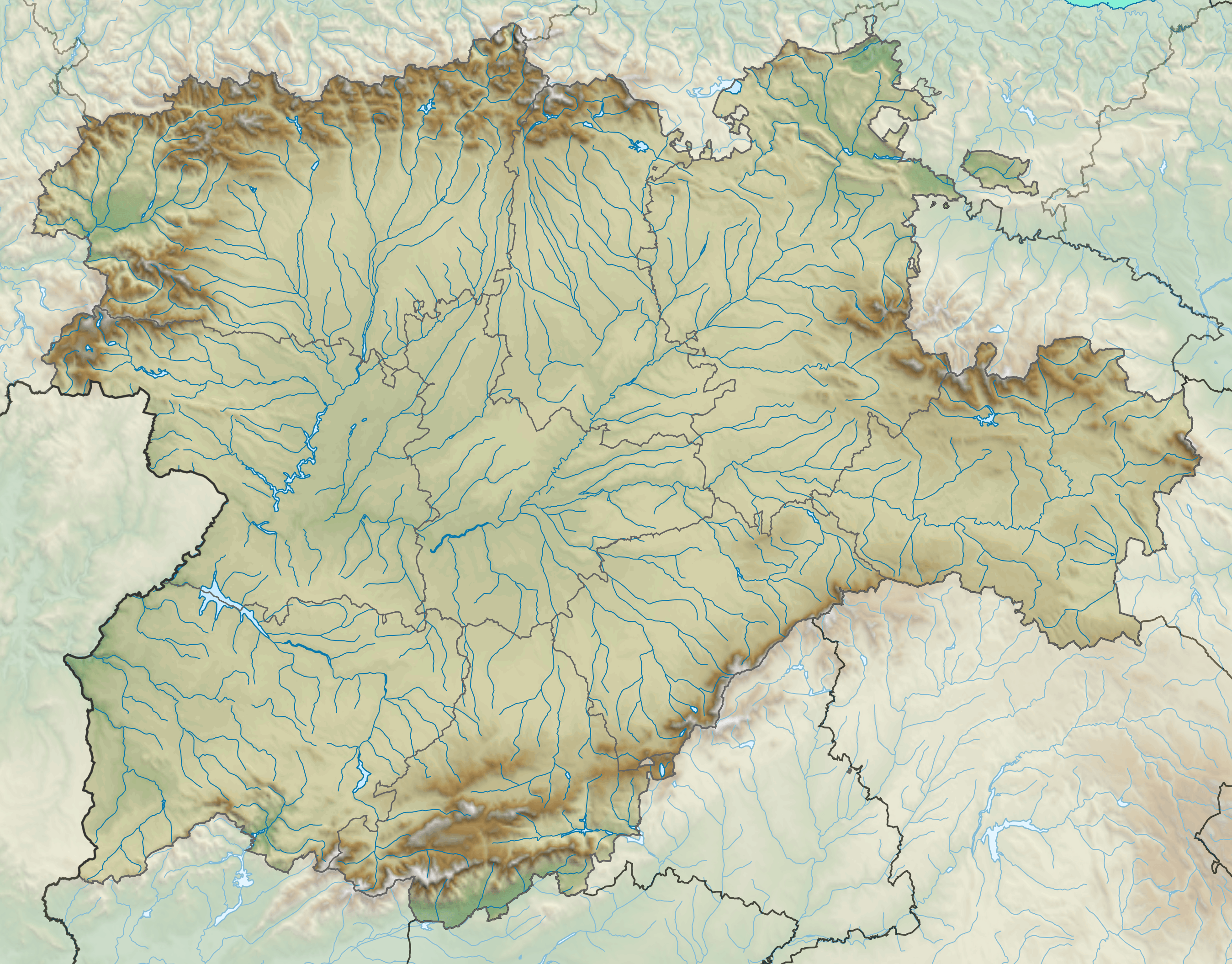
Description: Location map relieve of Castile and León
Title: Spain Castile and León relieve location map
Credit: Castilla y León-loc.svg
Author: Miguillen
Usage Terms: Creative Commons Attribution-Share Alike 1.0
License: CC BY-SA 1.0
License Link: https://creativecommons.org/licenses/by-sa/1.0
Attribution Required?: Yes
Image usage
The following 21 pages link to this image:
- Aguilar de Campoo
- Atapuerca Mountains
- Béjar
- Candeleda
- Castile and León
- El Arenal, Ávila
- Guardo
- La Fregeneda
- La Hija de Dios
- Madrigal de las Altas Torres
- Palencia
- Peñalara
- Pico Almanzor
- Rock of the Three Kingdoms
- San Esteban de Gormaz
- San Leonardo de Yagüe
- Sanabria Lake
- Segovia
- Soria
- Villalpando
- Wamba, Valladolid

All content from Kiddle encyclopedia articles (including the article images and facts) can be freely used under Attribution-ShareAlike license, unless stated otherwise.