
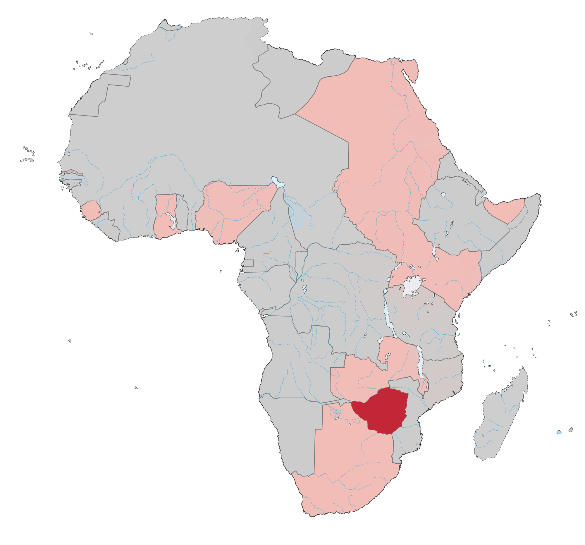
Image: Southern Rhodesia 1914
Size of this preview: 644 × 600 pixels. Other resolutions: 258 × 240 pixels | 2,000 × 1,863 pixels.
Original image (2,000 × 1,863 pixels, file size: 144 KB, MIME type: image/png)
Description: A map of Africa with 1914 borders, with British territories in pink and Southern Rhodesia in dark red. Note : The limits of the areas of control may not be perfectly accurate due to the imprecision of the reference maps.
Title: Southern Rhodesia 1914
Credit: Own work
Author: Colonial_Africa_1913_map.svg: Eric Gaba (Sting - fr:Sting) derivative work: Cliftonian
Permission: You may select the license of your choice.
Usage Terms: Creative Commons Attribution-Share Alike 3.0
License: CC BY-SA 3.0
License Link: http://creativecommons.org/licenses/by-sa/3.0/
Attribution Required?: Yes
Image usage
The following page links to this image:

All content from Kiddle encyclopedia articles (including the article images and facts) can be freely used under Attribution-ShareAlike license, unless stated otherwise.