
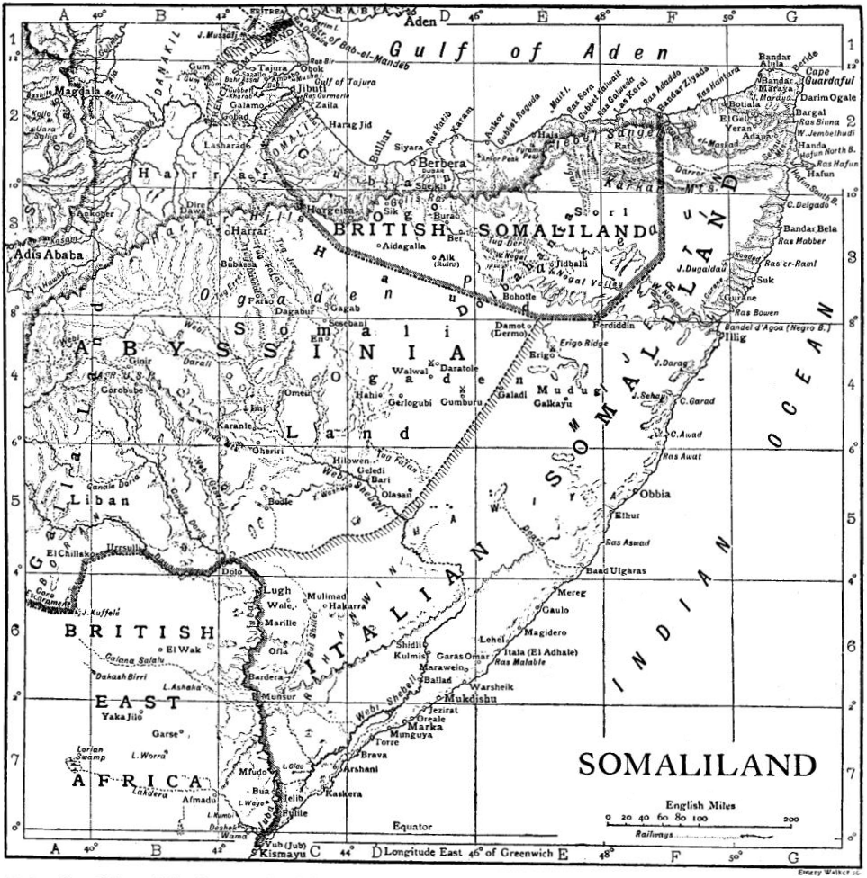
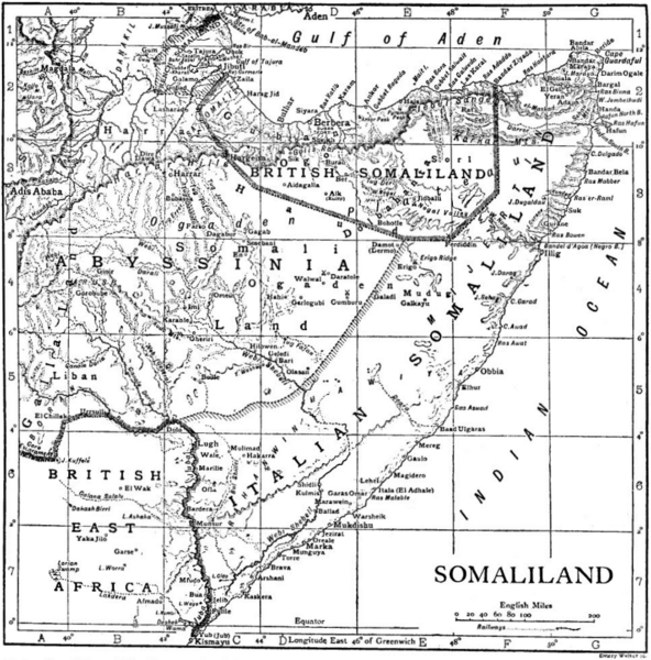
Image: Somalia1911
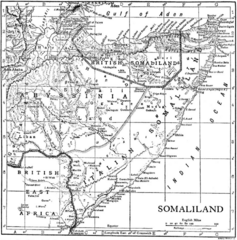
Size of this preview: 592 × 600 pixels. Other resolutions: 237 × 240 pixels | 963 × 976 pixels.
Original image (963 × 976 pixels, file size: 530 KB, MIME type: image/png)
Description: A map of the French, British, Italian, and Abyssinian [i.e., Ethiopian] Somalilands [i.e., Somalia and Djibouti] c. 1911.
Title: Somalia1911
Credit: "Somaliland" in the Encyclopædia Britannica 11th ed., Vol. 25
Author: Walker, Emery
Usage Terms: Public domain
License: Public domain
Attribution Required?: No
Image usage
The following 3 pages link to this image:

All content from Kiddle encyclopedia articles (including the article images and facts) can be freely used under Attribution-ShareAlike license, unless stated otherwise.