Image: Shepherdstown Battlefield West Virginia

Size of this preview: 453 × 599 pixels. Other resolutions: 181 × 240 pixels | 1,180 × 1,560 pixels.
Original image (1,180 × 1,560 pixels, file size: 730 KB, MIME type: image/jpeg)
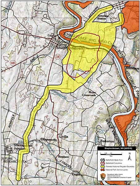
Description: Map of battlefield core and study areas. The Study Area encompasses the Potomac River crossings, Botelers Ford, the mill dam, mill ruins, the river itself, approach routes to the river, artillery positions along the river bluffs on the Maryland and West Virginia sides of the river, the fields over which the two sides fought (including the Osbourn Farm).
Title: Shepherdstown Battlefield West Virginia
Credit: National Park Service
Author: American Battlefield Protection Program
Usage Terms: Public domain
License: Public domain
Attribution Required?: No
Image usage
The following page links to this image:

All content from Kiddle encyclopedia articles (including the article images and facts) can be freely used under Attribution-ShareAlike license, unless stated otherwise.
