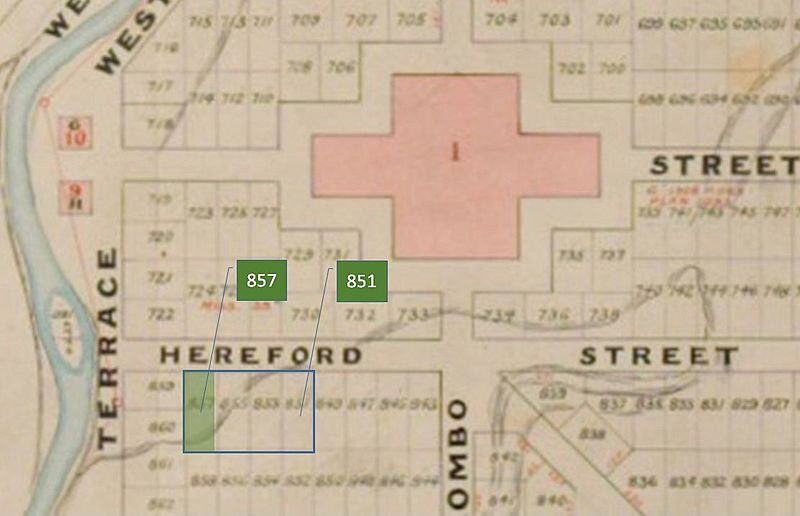
Image: Shand's Emporium Black Map

Size of this preview: 800 × 516 pixels. Other resolutions: 320 × 206 pixels | 1,112 × 717 pixels.
Original image (1,112 × 717 pixels, file size: 71 KB, MIME type: image/jpeg)
Description: Map showing the town sections in Hereford Street and around Cathedral Square, with John Shand's sections highlighted
Title: Shand's Emporium Black Map
Credit: http://archives.govt.nz/gallery/v/Online+Regional+Exhibitions/Chregionalofficegallery/sss/Black+Map+of+Christchurch/CH1031-180_+273_+Black+Map+Christchurch+1850+_Copy+2_+_2_.JPG.html?g2_imageViewsIndex=1
Author: Edward Jollie
Usage Terms: Public domain
License: Public domain
Attribution Required?: No
Image usage
The following page links to this image:

All content from Kiddle encyclopedia articles (including the article images and facts) can be freely used under Attribution-ShareAlike license, unless stated otherwise.
