
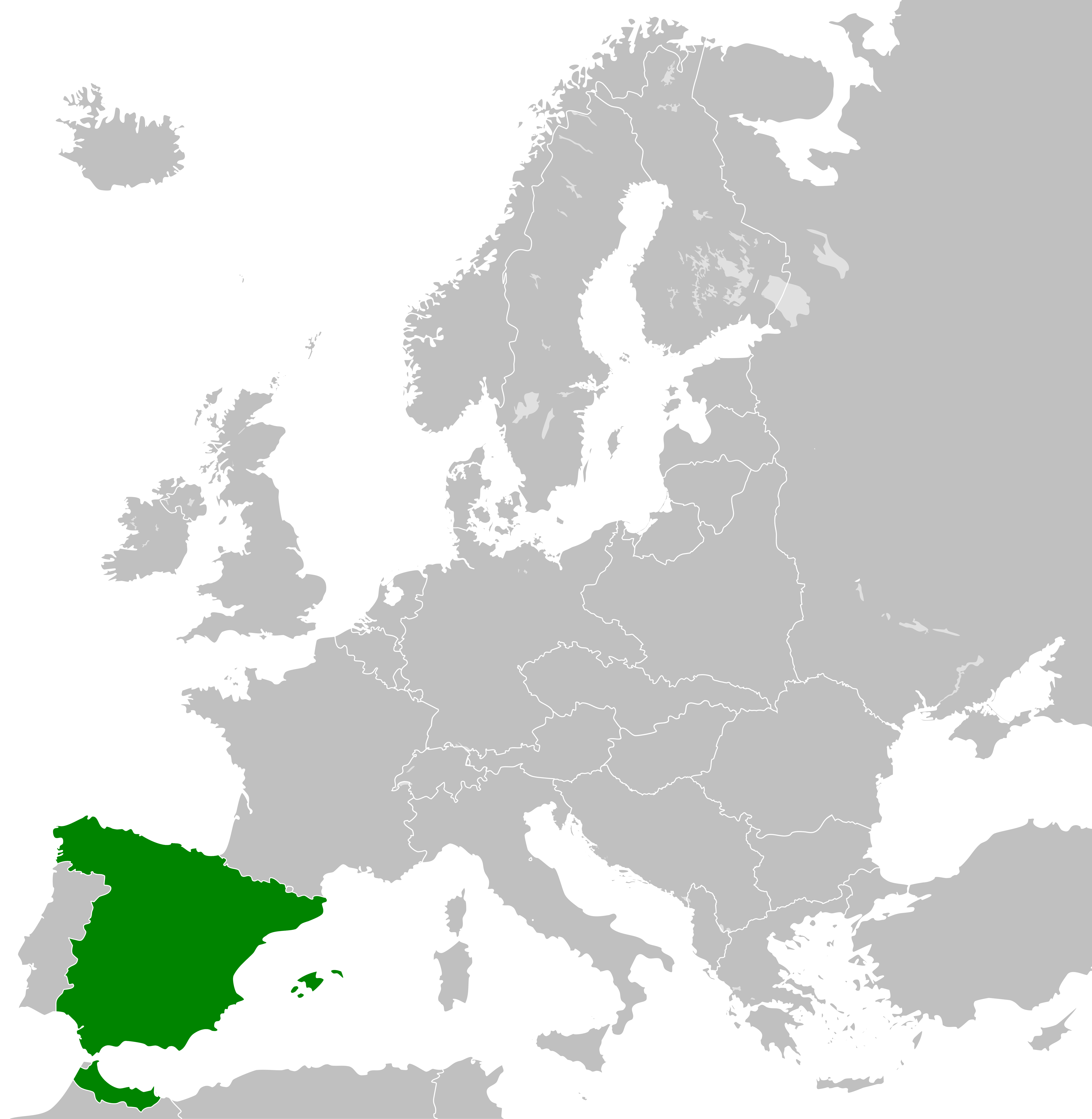
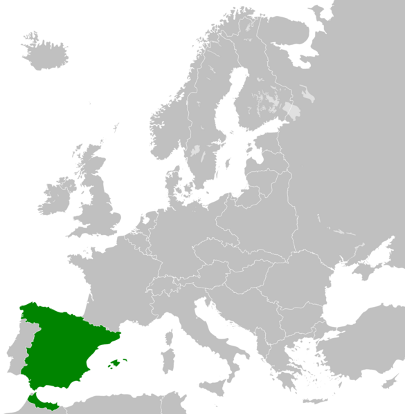
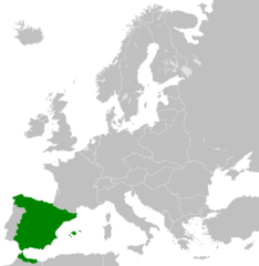
Image: Second Spanish Republic Map
Size of this preview: 585 × 599 pixels. Other resolutions: 234 × 240 pixels | 7,420 × 7,602 pixels.
Original image (7,420 × 7,602 pixels, file size: 1,012 KB, MIME type: image/png)
Description: European borders of the Second Spanish Republic from 1931 to 1936, including the Spanish Protectorate of Morocco.
Title: Second Spanish Republic Map
Credit: Own work
Author: Ashercolvin501
Usage Terms: Creative Commons Attribution-Share Alike 4.0
License: CC BY-SA 4.0
License Link: https://creativecommons.org/licenses/by-sa/4.0
Attribution Required?: Yes
Image usage
The following page links to this image:

All content from Kiddle encyclopedia articles (including the article images and facts) can be freely used under Attribution-ShareAlike license, unless stated otherwise.