
Image: Seattle - Atlantic map
Size of this preview: 385 × 599 pixels. Other resolutions: 154 × 240 pixels | 723 × 1,125 pixels.
Original image (723 × 1,125 pixels, file size: 187 KB, MIME type: image/jpeg)
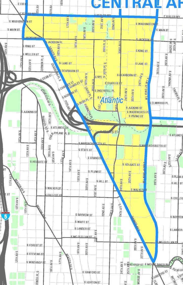
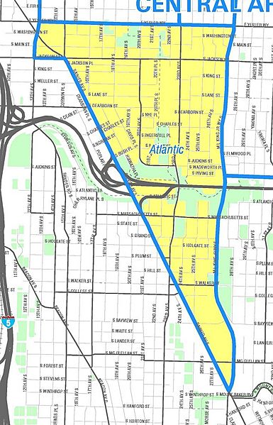
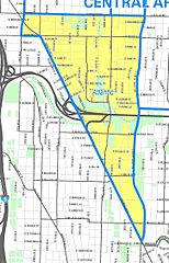
Description: Map of Atlantic neighborhood, Seattle. Like the other maps from the Seattle City Clerk's Neighborhood Map Atlas, this is not an official map; in particular, borders are not official.
Title: Seattle - Atlantic map
Credit: Atlantic, map NN-1290L from Seattle City Clerk's Neighborhood Map Atlas.
Author: Office of the Seattle City Clerk
Permission: PD-Seattle-Neighborhood-Atlas.
Usage Terms: Public domain
License: Public domain
Attribution Required?: No
Image usage
The following page links to this image:

All content from Kiddle encyclopedia articles (including the article images and facts) can be freely used under Attribution-ShareAlike license, unless stated otherwise.