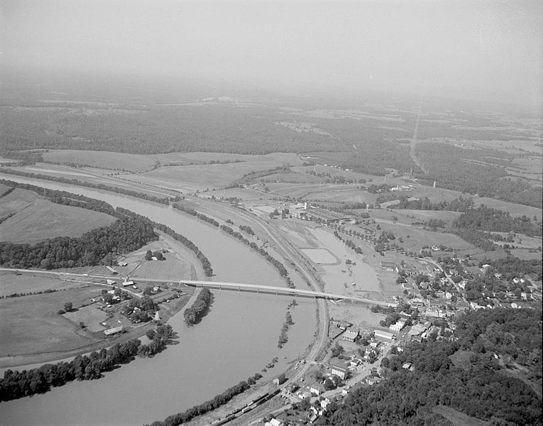
Image: Scottsville Aerial View (7797532376)

Size of this preview: 765 × 600 pixels. Other resolutions: 306 × 240 pixels | 5,550 × 4,350 pixels.
Original image (5,550 × 4,350 pixels, file size: 1.33 MB, MIME type: image/jpeg)
Description: The small town of Scottsville was flooded by the nearby James River. Located at the intersection of Rt. 20 and Rt. 6 in southern Albemarle County. Image looks west. No. 69-2147, Virginia Governor's Negative Collection, Library of Virginia.
Title: Scottsville Aerial View (7797532376)
Credit: Scottsville Aerial View Uploaded by AlbertHerring
Author: The Library of Virginia from USA
Permission: The Library of Virginia @ Flickr Commons
Usage Terms: No known copyright restrictions
License: No restrictions
License Link: https://www.flickr.com/commons/usage/
Attribution Required?: No
Image usage
The following page links to this image:

All content from Kiddle encyclopedia articles (including the article images and facts) can be freely used under Attribution-ShareAlike license, unless stated otherwise.
