
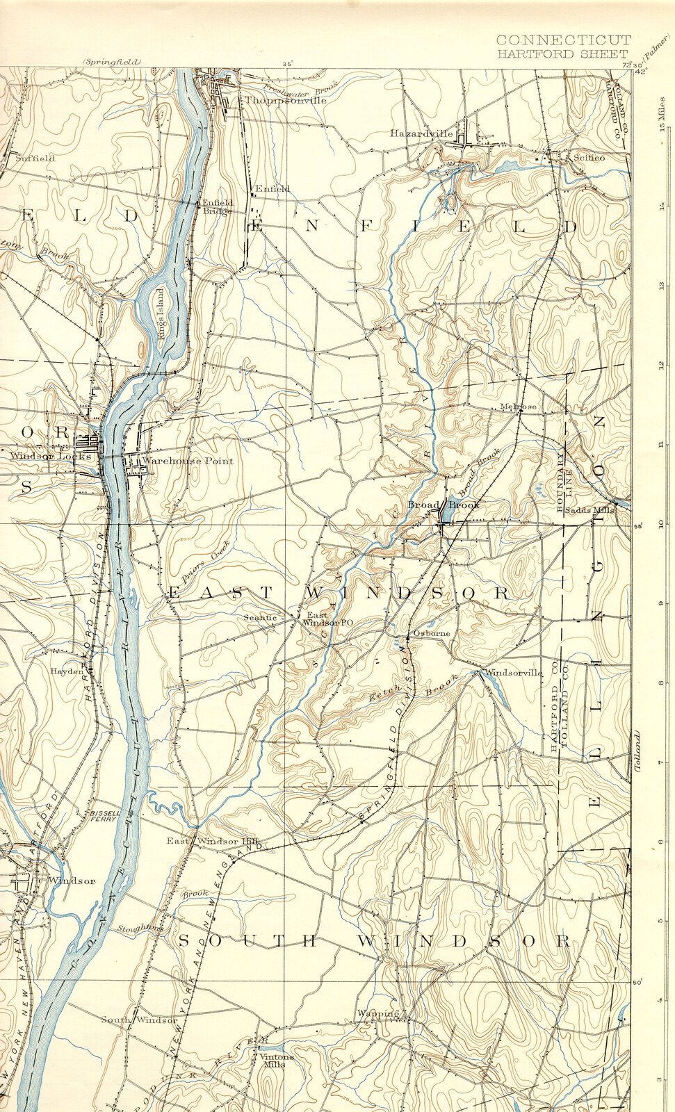
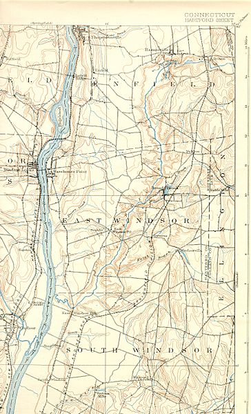
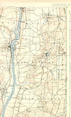
Image: Scantic River (Connecticut) map
Size of this preview: 364 × 600 pixels. Other resolutions: 146 × 240 pixels | 1,700 × 2,800 pixels.
Original image (1,700 × 2,800 pixels, file size: 1.57 MB, MIME type: image/jpeg)
Description: Map of bottom stretch of Scantic River (Connecticut) and environs.
Title: Scantic River (Connecticut) map
Credit: USGS 15 Minute Series, Hartford, CT Quadrangle, 1892. Northeast corner.
Author: United State Geological Survey, US Department of the Interior.
Permission: Public domain - original work of the US Federal Government.
Usage Terms: Public domain
License: Public domain
Attribution Required?: No
Image usage
The following page links to this image:

All content from Kiddle encyclopedia articles (including the article images and facts) can be freely used under Attribution-ShareAlike license, unless stated otherwise.
_map.jpg)