
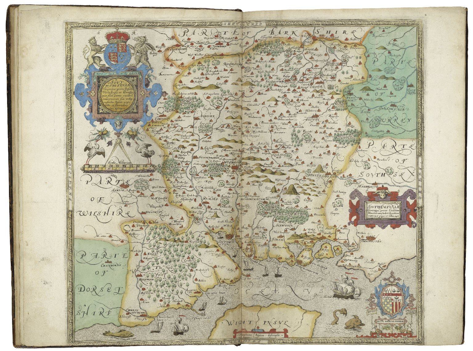
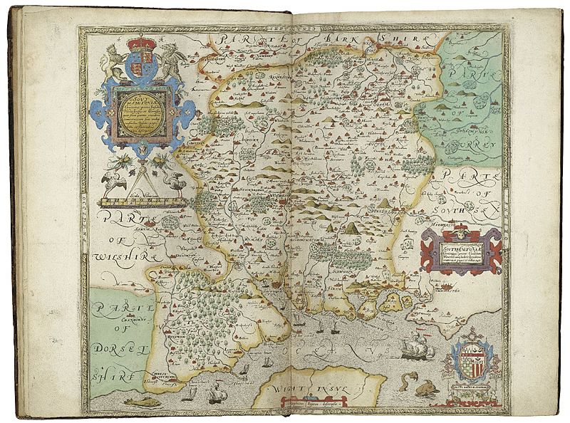
Image: Saxton's map of Southamptonshire
Size of this preview: 800 × 594 pixels. Other resolutions: 320 × 238 pixels | 1,536 × 1,140 pixels.
Original image (1,536 × 1,140 pixels, file size: 621 KB, MIME type: image/jpeg)
Description: A map of "Southamptonshire" from Saxton's Atlas of the Counties of England and Wales
Title: Saxton's map of Southamptonshire
Credit: Folger Shakespeare Library Digital Image Collection http://luna.folger.edu/luna/servlet/s/91d61a
Author: Christopher Saxton
Usage Terms: Creative Commons Attribution-Share Alike 4.0
License: CC BY-SA 4.0
License Link: https://creativecommons.org/licenses/by-sa/4.0
Attribution Required?: Yes
Image usage
The following page links to this image:

All content from Kiddle encyclopedia articles (including the article images and facts) can be freely used under Attribution-ShareAlike license, unless stated otherwise.