Image: Samoan crisis map
Samoan_crisis_map.jpg (740 × 486 pixels, file size: 65 KB, MIME type: image/jpeg)
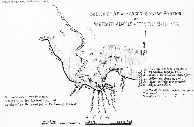
Description: "Sketch of Apia Harbor showing Position of Wrecked Vessels after the Gale, Etc." Sketch map by Rear Admiral Lewis A. Kimberly, contained in his personal journal of the Apia Hurricane. Original caption: "Photo # NH 42141 Sketch chart of Apia Harbor, from RAdm. L.A. Kimberly's journal"
Title: Samoan crisis map
Credit: https://www.history.navy.mil/content/history/nhhc/our-collections/photography/numerical-list-of-images/nhhc-series/nh-series/NH-42000/NH-42141.html
Author: United States Navy, Lewis Kimberly.
Usage Terms: Public domain
License: Public domain
Attribution Required?: No
Image usage
The following page links to this image:

All content from Kiddle encyclopedia articles (including the article images and facts) can be freely used under Attribution-ShareAlike license, unless stated otherwise.

