
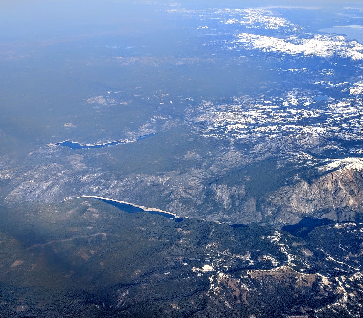
Image: Salt Springs Reservoir, Lower Bear River Reservoir, and Mokelumne Peak
Size of this preview: 684 × 600 pixels. Other resolutions: 274 × 240 pixels | 1,383 × 1,213 pixels.
Original image (1,383 × 1,213 pixels, file size: 492 KB, MIME type: image/jpeg)
Description: Salt Springs Reservoir (lower left) and Lower Bear River Reservoir (upper left) and (Upper) Bear River Reservoir (upper center) in the foothills of the Sierras between California highways 4 and 88, and Mokelumne Peak (far right); a portion of Lake Tahoe is visible (upper right).
Title: Salt Springs Reservoir, Lower Bear River Reservoir, and Mokelumne Peak
Credit: Own work
Author: Dicklyon
Usage Terms: Creative Commons Attribution-Share Alike 4.0
License: CC BY-SA 4.0
License Link: https://creativecommons.org/licenses/by-sa/4.0
Attribution Required?: Yes
Image usage
The following page links to this image:

All content from Kiddle encyclopedia articles (including the article images and facts) can be freely used under Attribution-ShareAlike license, unless stated otherwise.