
Image: Salmon river map
No higher resolution available.
Salmon_river_map.gif (500 × 210 pixels, file size: 8 KB, MIME type: image/gif)
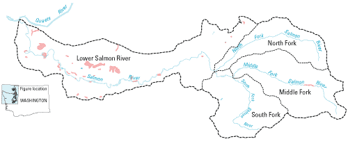
Description: Map created by the US Geological Survey of the Salmon River watershed.
Title: Salmon river map
Credit: http://wa.water.usgs.gov/projects/salmonriver/maps.htm
Author: USGS
Usage Terms: Public domain
License: Public domain
Attribution Required?: No
Image usage
The following page links to this image:

All content from Kiddle encyclopedia articles (including the article images and facts) can be freely used under Attribution-ShareAlike license, unless stated otherwise.