
Image: Sacramento and Feather River diazinon improvements
Size of this preview: 463 × 599 pixels. Other resolutions: 185 × 240 pixels | 960 × 1,242 pixels.
Original image (960 × 1,242 pixels, file size: 269 KB, MIME type: image/jpeg)
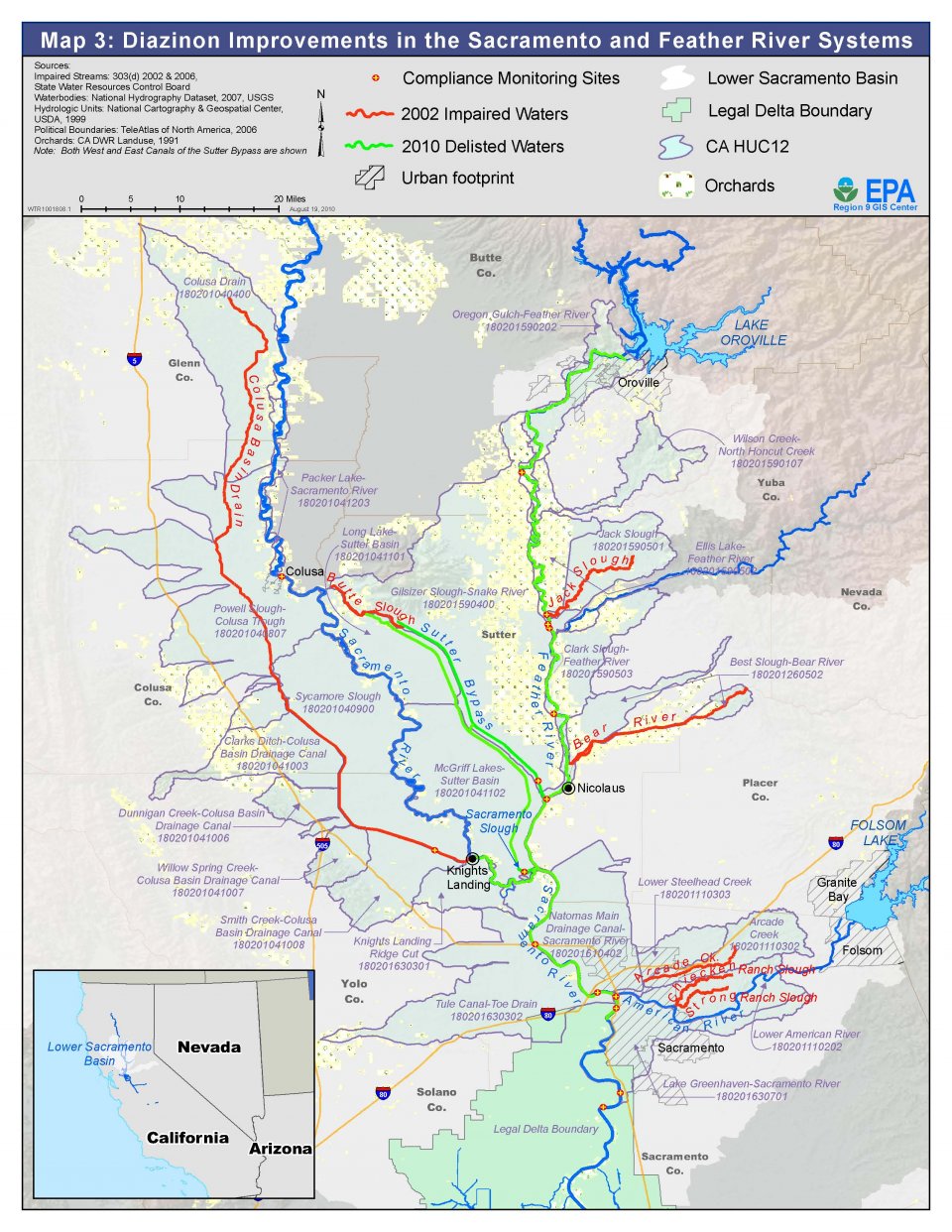
Description: This file represents compliance monitoring sites, impaired waters and delisted waters with references to which is what in the legend up top. It is a map of some of Northern California's Sacramento River water system and represents water quality improvement through reduction of diazinon.
Title: Sacramento and Feather River diazinon improvements
Credit: https://www.epa.gov/sites/default/files/2013-06/feather-sac-improvements-map.jpg
Author: State Water Resources Control Board
Usage Terms: Public domain
License: Public domain
Attribution Required?: No
Image usage
The following page links to this image:

All content from Kiddle encyclopedia articles (including the article images and facts) can be freely used under Attribution-ShareAlike license, unless stated otherwise.