
Image: Sacramento River basin map
Size of this preview: 441 × 600 pixels. Other resolutions: 176 × 240 pixels | 886 × 1,205 pixels.
Original image (886 × 1,205 pixels, file size: 1.44 MB, MIME type: image/png)
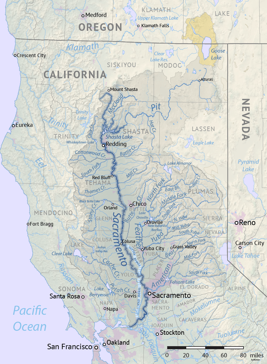
Description: Map of the Sacramento River drainage basin. The historically connected Goose Lake drainage basin is shown in orange. Made using USGS National Map and NASA SRTM data.
Author: Shannon1
Usage Terms: Creative Commons Attribution-Share Alike 3.0
License: CC-BY-SA-3.0
License Link: http://creativecommons.org/licenses/by-sa/3.0/
Attribution Required?: Yes
Image usage
The following 4 pages link to this image:

All content from Kiddle encyclopedia articles (including the article images and facts) can be freely used under Attribution-ShareAlike license, unless stated otherwise.