
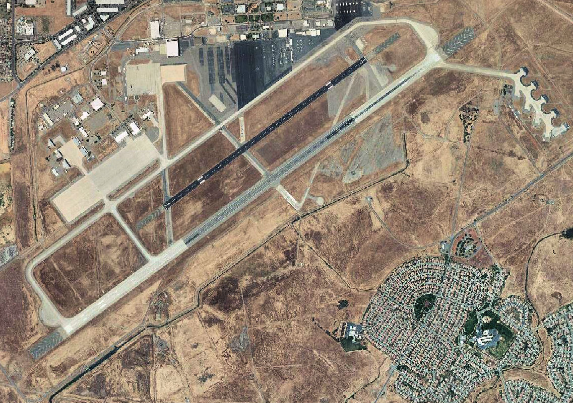
Image: Sacramento Mather Airport 2006 USGS
Size of this preview: 800 × 564 pixels. Other resolutions: 320 × 225 pixels | 1,137 × 801 pixels.
Original image (1,137 × 801 pixels, file size: 377 KB, MIME type: image/jpeg)
Description: USGS digital orthophoto of Sacramento Mather Airport in California
Title: Sacramento Mather Airport 2006 USGS
Credit: USGS via GPS Visualizer website http://www.gpsvisualizer.com/map_input?special=wikipedia&format=google&bg_map=usgs_aerial&sp_width=50km&form:data=type,name,latitude,longitude%0DW,%22Mather%20Air%20Force%20Base%22,38.553889,-121.2975
Author: United States Geological Survey (USGS)
Permission: Public domain
Usage Terms: Public domain
License: Public domain
Attribution Required?: No
Image usage
The following page links to this image:

All content from Kiddle encyclopedia articles (including the article images and facts) can be freely used under Attribution-ShareAlike license, unless stated otherwise.