Image: STS-2 Lut Desert

Size of this preview: 594 × 599 pixels. Other resolutions: 238 × 240 pixels | 4,116 × 4,152 pixels.
Original image (4,116 × 4,152 pixels, file size: 5.21 MB, MIME type: image/jpeg)
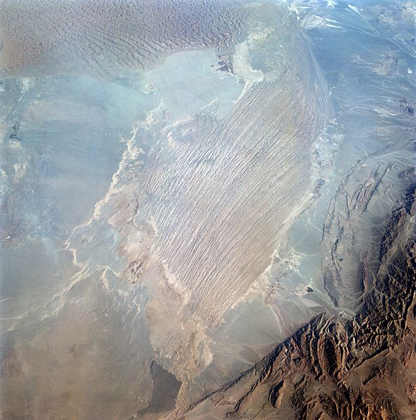
Description: Iran is a large country with several desert regions. In the Dasht-E-Lut (Lut Desert) (30.5N, 58.5E) an area known as Namak-Zar, about 100 miles east of the city of Kerman, is at the center of this photograph. Some of the world's most prominent Yardangs (very long, parallel ridges and depressions) have been wind eroded in these desert dry lake bed sediments. At the left of the photo is a large field of sand dunes at right angles to the wind.
Title: STS-2 Lut Desert
Credit: http://science.ksc.nasa.gov/mirrors/images/images/pao/STS2/10060521.jpg
Author: NASA/STS-2 crew
Usage Terms: Public domain
License: Public domain
Attribution Required?: No
Image usage
The following page links to this image:

All content from Kiddle encyclopedia articles (including the article images and facts) can be freely used under Attribution-ShareAlike license, unless stated otherwise.
