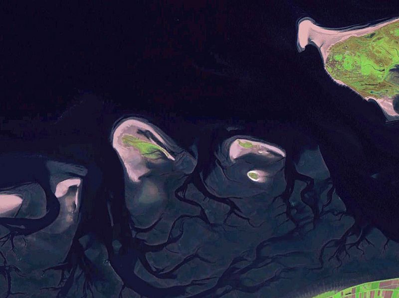
Image: Rottumeroog Rottumerplaat 6.53663E 53.54001N

Size of this preview: 800 × 599 pixels. Other resolutions: 320 × 240 pixels | 1,280 × 958 pixels.
Original image (1,280 × 958 pixels, file size: 444 KB, MIME type: image/jpeg)
Description: Some West Frisian Islands (Netherlands) and some East Frisian Islands (Germany), from left to right: part of Schiermonnikoog, Simonszand, Rottumerplaat, Rottumeroog (north) with Zuiderduintjes (south) and part of Borkum.
Title: Rottumeroog Rottumerplaat 6.53663E 53.54001N
Credit: NASA World Wind screenshot
Author: – (NASA World Wind)
Permission: Public domainPublic domainfalsefalse This image is in the public domain because it is a screenshot from NASA’s globe software World Wind using a public domain layer, such as Blue Marble, MODIS, Landsat, SRTM, USGS or GLOBE. English | فارسی | français | עברית | македонски | മലയാളം | Nederlands | русский |
Image usage
The following page links to this image:

All content from Kiddle encyclopedia articles (including the article images and facts) can be freely used under Attribution-ShareAlike license, unless stated otherwise.
