
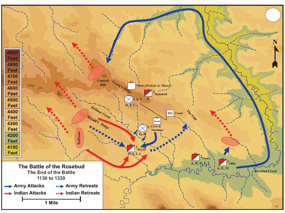
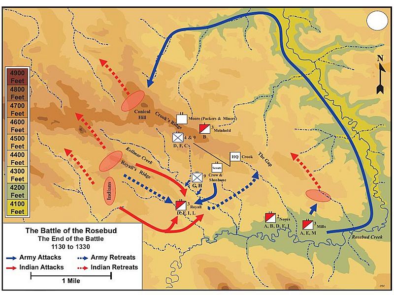
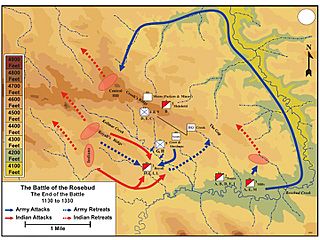
Image: Rosebud-end
Size of this preview: 800 × 600 pixels. Other resolutions: 320 × 240 pixels | 960 × 720 pixels.
Original image (960 × 720 pixels, file size: 103 KB, MIME type: image/jpeg)
Description: A map from the Atlas of the Sioux Wars showing the position of the opposing forces at the end of the Battle of the Rosebud, June 17, 1876
Title: Rosebud-end
Credit: Atlas of the Sioux Wars, 2nd Edition page 61 - published by Combat Studies Institute Press Fort Leavenworth, Kansas 66027 October 2006
Author: Charles D. Collins, Jr.
Usage Terms: Public domain
License: Public domain
Attribution Required?: No
Image usage
The following 2 pages link to this image:

All content from Kiddle encyclopedia articles (including the article images and facts) can be freely used under Attribution-ShareAlike license, unless stated otherwise.