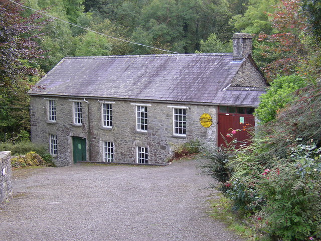
Image: Rock Woollen Mill, Capel Dewi, Landyssul - geograph.org.uk - 612709
Description: Rock Woollen Mill, Capel Dewi, Landyssul A water mill the wheel is on the left side of the building, the water being conveyed in a channel from a weir at the road bridge. The AA village sign has presumably wandered here from somewhere nearby, but I haven't been able to find the place (Cilrhiwiau) on a map, although 13 miles from New Quay is a good clue. Phil Champion has alerted me to: http://www.welshblankets.co.uk/catalog_view.php?id=1044 Which explains the sign as follows: "The original village sign can be seen on the wall of the mill. removed in the second world war to confuse possible invaders to this quiet Welsh village it was never put back up but remained for donkeys years on the wall of their other mill Broneinon. Although known locally as Capel Dewi by local people after the little church at the top of the slope, the village was actually called Cilrhiwiau which translates as narrow valley. It has been known as Capel Dewi ever since. Not a lot of people know that!!"
Title: Rock Woollen Mill, Capel Dewi, Landyssul - geograph.org.uk - 612709
Credit: From geograph.org.uk
Author: Humphrey Bolton
Usage Terms: Creative Commons Attribution-Share Alike 2.0
License: CC BY-SA 2.0
License Link: https://creativecommons.org/licenses/by-sa/2.0
Attribution Required?: Yes
Image usage
The following page links to this image:


