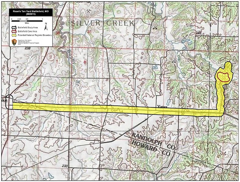
Image: Roan's Tan Yard Battlefield Missouri

Description: Map of battlefield core and study areas. The 1993 Study Area was extended out to Roanoke, Missouri, where the Federal expedition joined forces. The ABPP used satellite images of the landscape to identify the "tortuous windings of a narrow road" (Missouri Democrat, January 9th, 1862) on which the Federal force travelled to Silver Creek. The 1993 Core Area was reduced to focus on the location of fighting directly south of Silver Creek and the location of the creek bed that Confederate troops used as breastworks.
Title: Roan's Tan Yard Battlefield Missouri
Credit: National Park Service
Author: American Battlefield Protection Program
Usage Terms: Public domain
License: Public domain
Attribution Required?: No
Image usage
The following page links to this image:

