
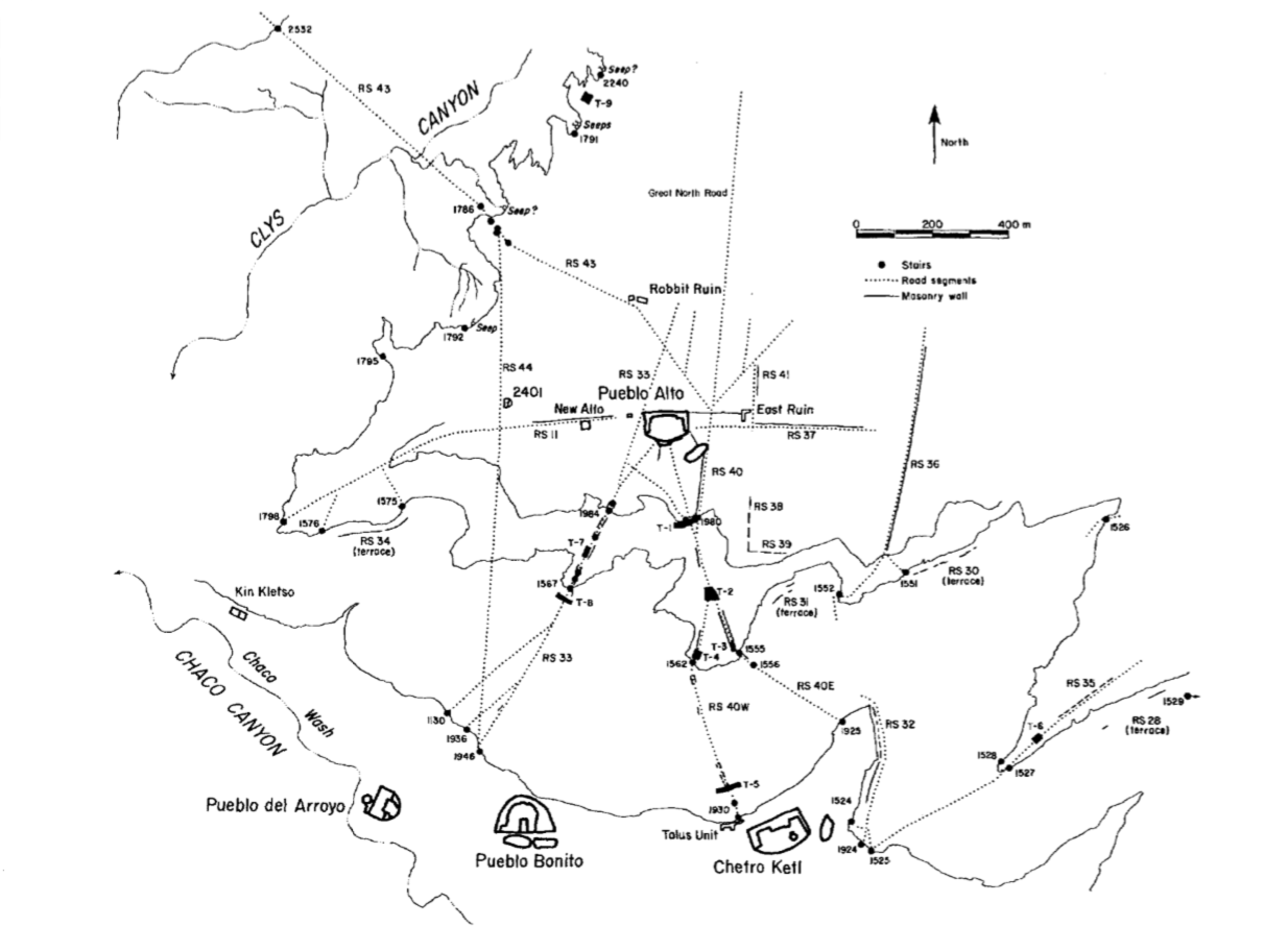
Image: Road network around the Pueblo Alto community
Size of this preview: 800 × 576 pixels. Other resolutions: 320 × 231 pixels | 1,234 × 889 pixels.
Original image (1,234 × 889 pixels, file size: 238 KB, MIME type: image/png)
Description: A National Park Service map of the road network around the Pueblo Alto community.
Title: Road network around the Pueblo Alto community
Credit: Culture and Ecology of Chaco Canyon and the San Juan Basin. Publications in Archeology 18H, Chaco Canyon Studies. National Park Service, Santa Fe, 2005, by Mathien, Frances Joan; page 153.
Author: National Park Service
Usage Terms: Public domain
License: Public domain
Attribution Required?: No
Image usage
The following 3 pages link to this image:

All content from Kiddle encyclopedia articles (including the article images and facts) can be freely used under Attribution-ShareAlike license, unless stated otherwise.