
Image: Rivière Chicoutimi carte estuaire

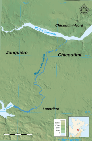
Description: Location of Chicoutimi river in Chicoutimi bourough
Title: Rivière Chicoutimi carte estuaire
Credit: Own work. Data sources: Background map: data from NASA Shuttle Radar Topography Mission (SRTM3 v.2 & SWDB) (public domain) Locator map made from File:Canada (geolocalisation).svg created by STyx under GFDL & CC-BY-SA-2.5 ; compass rose from File:Compass rose pale.svg (opacified) created by Fibonacci under GFDL ; scale from Image:Scale_kilometres_miles_svg.svg by Sémhur under GFDL & CC-BY-SA-3.0. Softwares used: NASA datas edited with Global Mapper 9 (limited version) by the United States Geological Survey (USGS) Vectorized with Inkscape; Others: UTM map projection WGS84 geodetic system Shaded relief (ligth direction) : altitude 80°, azimuth 315° Fonts: Times New Roman for sea and rivers labels, Arial for others.
Author: Chicoutimi ·✉·✍·
Usage Terms: Creative Commons Attribution-Share Alike 3.0
License: CC BY-SA 3.0
License Link: https://creativecommons.org/licenses/by-sa/3.0
Attribution Required?: Yes
Image usage
The following page links to this image:
