
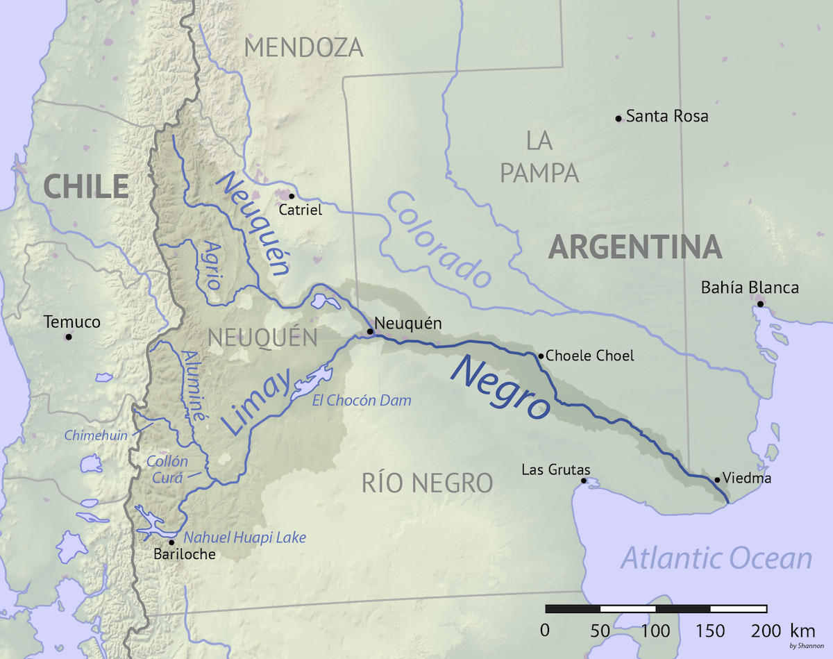
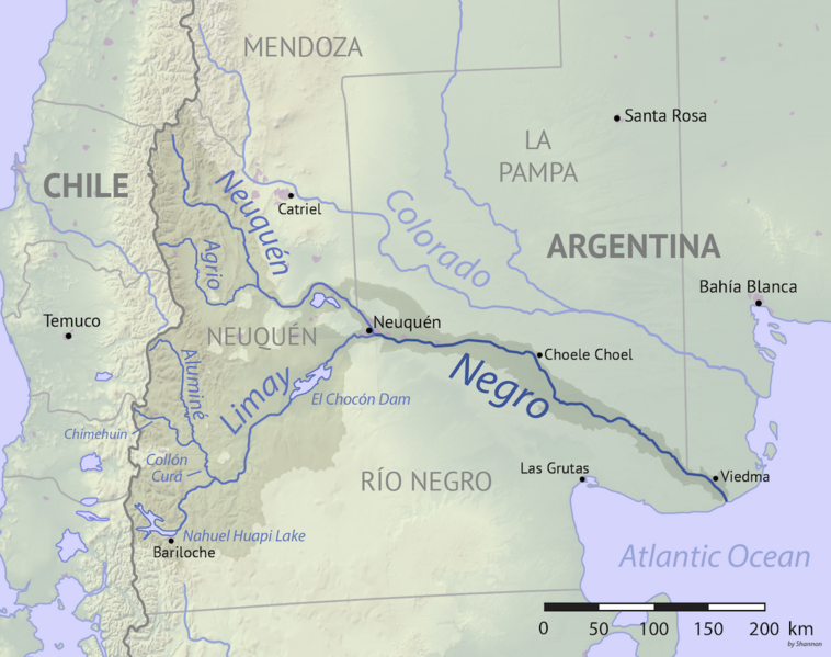
Image: Rio Negro Argentina map
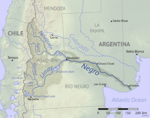
Size of this preview: 758 × 599 pixels. Other resolutions: 304 × 240 pixels | 1,200 × 949 pixels.
Original image (1,200 × 949 pixels, file size: 573 KB, MIME type: image/png)
Description: Map of the Rio Negro drainage basin, southern Argentina. Made using public domain Natural Earth and USGS data.
Title: Rio Negro Argentina map
Credit: Own work
Author: Shannon1
Usage Terms: Creative Commons Attribution-Share Alike 4.0
License: CC BY-SA 4.0
License Link: https://creativecommons.org/licenses/by-sa/4.0
Attribution Required?: Yes
Image usage
The following 3 pages link to this image:

All content from Kiddle encyclopedia articles (including the article images and facts) can be freely used under Attribution-ShareAlike license, unless stated otherwise.