
Image: Richmond California aerial view with bridge
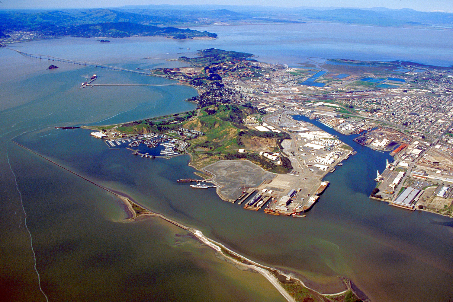
Description: Aerial view of the western part of Richmond, California, USA. The Richmond-San Rafael Bridge stretches across San Francisco Bay. Marin County, California is visible on the hills across the bay. View is to the northwest.
Title: Richmond California aerial view with bridge
Credit: U.S. Army Corps of Engineers Digital Visual Library Image page Image description page Digital Visual Library home page
Author: U.S. Army Corps of Engineers, photographer not specified or unknown
Permission: This image or file is a work of a U.S. Army Corps of Engineers soldier or employee, taken or made as part of that person's official duties. As a work of the U.S. federal government, the image is in the public domain. English | italiano | Nederlands | русский | Türkçe | українська | +/−
Usage Terms: Public domain
License: Public domain
Attribution Required?: No
Image usage
The following page links to this image:
