
Image: RetrieveUnitBrazoriaAirport
No higher resolution available.
RetrieveUnitBrazoriaAirport.PNG (628 × 562 pixels, file size: 506 KB, MIME type: image/png)
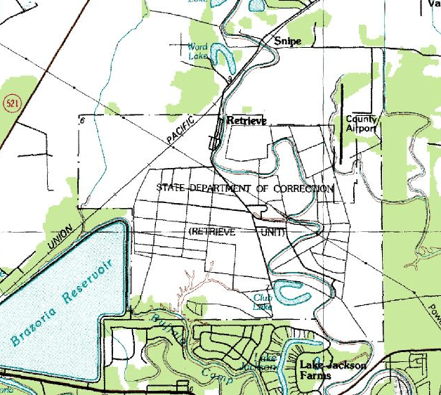
Description: A topographic map of the Retrieve Unit (Wayne Scott Unit) and the Texas Gulf Coast Regional Airport (Brazoria County Airport) in Texas
Title: RetrieveUnitBrazoriaAirport
Credit: USGS The National Map, via MSR Maps (formerly TerraServer-USA) http://msrmaps.com/image.aspx?T=2&S=14&Z=15&X=80&Y=1005&W=3&qs=%7cBrazoria%7cTX
Author: U.S. Geological Survey
Permission: Public domain
Usage Terms: Public domain
License: Public domain
Attribution Required?: No
Image usage
There are no pages that link to this image.

All content from Kiddle encyclopedia articles (including the article images and facts) can be freely used under Attribution-ShareAlike license, unless stated otherwise.