
Image: Rensselaer County 1829 Restored

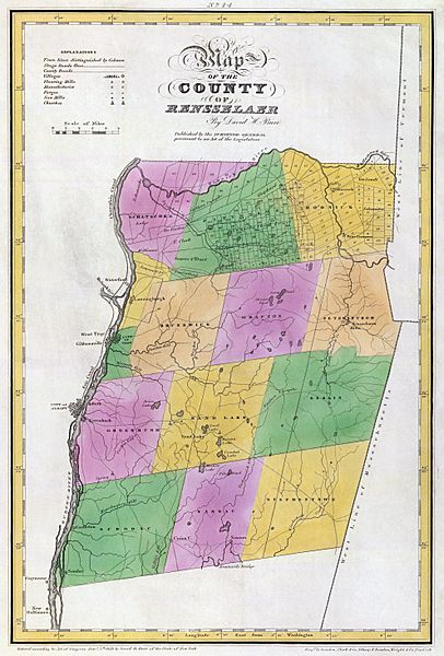
Description: Map of Rensselaer County, New York, United States in 1829
Title: Rensselaer County 1829 Restored
Credit: An atlas of the State of New York, containing a map of the State and of the several counties ... under the superintendance & direction of Simeon DeWitt, Surveyor General, pursuant to an Act of the Legislature, and also the physical geography of the State & of the several counties & statistical tables of the same, by David H. Burr. New York, published by David H. Burr. 1829. Engravd. by Rawdon, Clark & Co. Albany & Rawdon, Wright & Co., New York. Courtesy the David Rumsey Collection
Author: David H. Burr (1803-1875)
Usage Terms: Public domain
License: Public domain
Attribution Required?: No
Image usage
The following 3 pages link to this image:
