
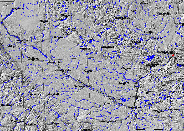
Image: ReliefTC
No higher resolution available.
ReliefTC.jpg (772 × 550 pixels, file size: 278 KB, MIME type: image/jpeg)
Description: Relief, watercourses and lakes of Minnesota
Title: ReliefTC
Credit: This map was created by Appraiser using the USGS National Atlas mapmaking tool. It shows relief, watercourses and lakes, cities, and lines of latitude and longitude.
Author: created by Appraiser from USGS public-domain mapmaker
Usage Terms: Public domain
License: Public domain
Attribution Required?: No
Image usage
The following page links to this image:

All content from Kiddle encyclopedia articles (including the article images and facts) can be freely used under Attribution-ShareAlike license, unless stated otherwise.