
Image: Range Map for Desmodium tweedyi
Size of this preview: 800 × 488 pixels. Other resolutions: 320 × 195 pixels | 1,052 × 642 pixels.
Original image (1,052 × 642 pixels, file size: 81 KB, MIME type: image/png)
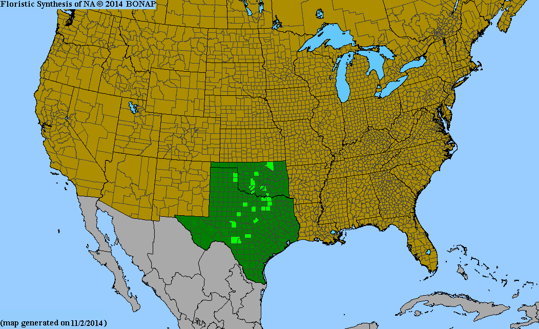
Description: This distribution map for plant Desmodium tweedyi shows where this species is found.
Title: Range Map for Desmodium tweedyi
Credit: http://bonap.net/MapGallery/County/Desmodium%20tweedyi.png
Author: Kartesz, J.T., The Biota of North America Program (BONAP). 2015. Taxonomic Data Center. (http://www.bonap.net/tdc). Chapel Hill, N.C. [maps generated from Kartesz, J.T. 2015. Floristic Synthesis of North America, Version 1.0. Biota of North America Program (BONAP). (in press)]
Usage Terms: Creative Commons Attribution-Share Alike 3.0
License: CC BY-SA 3.0
License Link: https://creativecommons.org/licenses/by-sa/3.0
Attribution Required?: Yes
Image usage
The following page links to this image:

All content from Kiddle encyclopedia articles (including the article images and facts) can be freely used under Attribution-ShareAlike license, unless stated otherwise.